
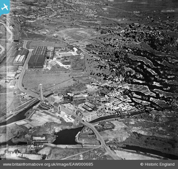
EAW000685 ENGLAND (1946). The Netherton Iron Works and the surrounding area, Netherton, 1946. This image has been produced from a damaged negative.
© Copyright OpenStreetMap contributors and licensed by the OpenStreetMap Foundation. 2026. Cartography is licensed as CC BY-SA.
Nearby Images (41)
EAW000685

EPW046059

EPW046060

EAW024637

EPW046058

EPW046061

EAW024633

EAW024640

EPW046056

EPW046055

EAW027691

EAW000683

EAW000684

EAW000682

EAW027696

EAW027686

EAW027697

EAW024635

EAW024641

EAW024634

EAW027694

EAW041760
 Ltd Windmill Engineering Works, Dudley, 1952. This image has been produced from a damaged negative.")
EAW024636

EPW046057

EAW041765
 Ltd Windmill Engineering Works, Dudley, 1952. This image has been produced from a damaged negative.")
EAW027693

EAW024638

EAW027687

EAW027690

EAW027689

EAW041762
 Ltd Windmill Engineering Works, Dudley, 1952. This image has been produced from a damaged negative.")
EAW024639

EAW027698

EAW027692

EAW027688

EAW000686

EAW027695

EAW041766
 Ltd Windmill Engineering Works, Dudley, 1952. This image has been produced from a damaged negative.")
EAW027699

EAW041767
 Ltd Windmill Engineering Works, Dudley, 1952. This image has been produced from a damaged negative.")
EAW041769
 Ltd Windmill Engineering Works, Dudley, 1952. This image has been produced from a damaged negative.")
Details
| Title | [EAW000685] The Netherton Iron Works and the surrounding area, Netherton, 1946. This image has been produced from a damaged negative. |
| Reference | EAW000685 |
| Date | 10-May-1946 |
| Link | |
| Place name | NETHERTON |
| Parish | |
| District | |
| Country | ENGLAND |
| Easting / Northing | 393656, 288872 |
| Longitude / Latitude | -2.0934582009518, 52.497349591458 |
| National Grid Reference | SO937889 |
Pins

Peter Turvey |
Sunday 23rd of November 2014 10:28:56 PM | |
|
Martin |
Thursday 26th of December 2013 12:21:37 PM | |
|
Martin |
Thursday 26th of December 2013 12:20:21 PM |