
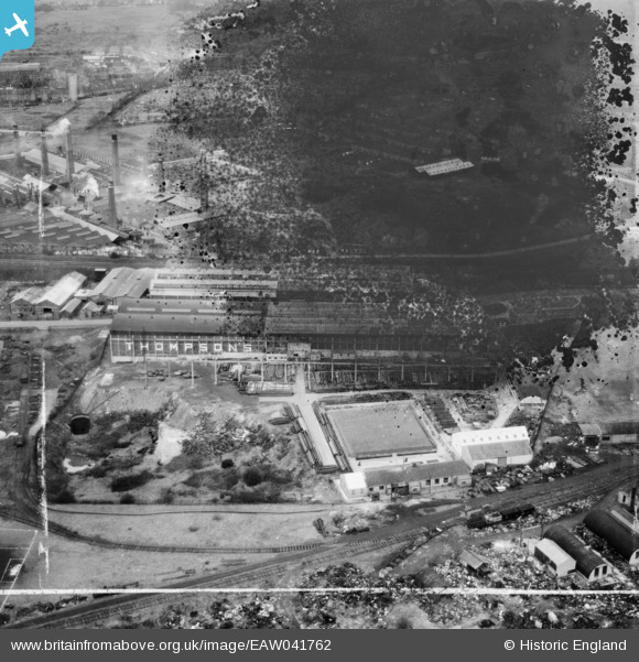
EAW041762 ENGLAND (1952). The John Thompson (Dudley) Ltd Windmill Engineering Works, Dudley, 1952. This image has been produced from a damaged negative.
© Copyright OpenStreetMap contributors and licensed by the OpenStreetMap Foundation. 2026. Cartography is licensed as CC BY-SA.
Nearby Images (35)
EAW041762
 Ltd Windmill Engineering Works, Dudley, 1952. This image has been produced from a damaged negative.")
EAW027690

EAW027687

EAW027693

EAW027694

EAW027692

EAW041765
 Ltd Windmill Engineering Works, Dudley, 1952. This image has been produced from a damaged negative.")
EAW027686

EAW027689

EAW027695

EAW027696

EAW027697

EAW041769
 Ltd Windmill Engineering Works, Dudley, 1952. This image has been produced from a damaged negative.")
EAW041767
 Ltd Windmill Engineering Works, Dudley, 1952. This image has been produced from a damaged negative.")
EAW027699

EAW027688

EAW027691

EAW041760
 Ltd Windmill Engineering Works, Dudley, 1952. This image has been produced from a damaged negative.")
EAW041761
 Ltd Windmill Engineering Works, Dudley, 1952. This image has been produced from a damaged negative.")
EAW041763
 Ltd Windmill Engineering Works, Dudley, 1952. This image has been produced from a damaged negative.")
EAW041768
 Ltd Windmill Engineering Works, Dudley, 1952. This image has been produced from a damaged negative.")
EAW041766
 Ltd Windmill Engineering Works, Dudley, 1952. This image has been produced from a damaged negative.")
EAW027698

EAW041764
 Ltd Windmill Engineering Works, Dudley, 1952. This image has been produced from a damaged negative.")
EAW000685

EPW046061

EPW046058

EAW024637

EPW046060

EAW024640

EPW046059

EPW046055

EAW024633

EPW046056

EAW000683

Details
| Title | [EAW041762] The John Thompson (Dudley) Ltd Windmill Engineering Works, Dudley, 1952. This image has been produced from a damaged negative. |
| Reference | EAW041762 |
| Date | 23-February-1952 |
| Link | |
| Place name | DUDLEY |
| Parish | |
| District | |
| Country | ENGLAND |
| Easting / Northing | 393759, 289038 |
| Longitude / Latitude | -2.0919439464645, 52.498843280867 |
| National Grid Reference | SO938890 |
Pins
Be the first to add a comment to this image!