
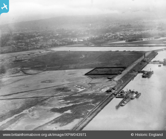
XPW043971 NORTHERN IRELAND (1934). Municipal Aerodrome, Belfast, Belfast, Northern Ireland, 1934. Oblique aerial photograph taken facing South/East.
© Hawlfraint cyfranwyr OpenStreetMap a thrwyddedwyd gan yr OpenStreetMap Foundation. 2026. Trwyddedir y gartograffeg fel CC BY-SA.
Delweddau cyfagos (8)
XPW043971

XPW043979

XPW043981

XPW043985

XPW043986

XPW043984

XPW043974

XPW043970

Manylion
| Pennawd | [XPW043971] Municipal Aerodrome, Belfast, Belfast, Northern Ireland, 1934. Oblique aerial photograph taken facing South/East. |
| Cyfeirnod | XPW043971 |
| Dyddiad | 1934 |
| Dolen | |
| Enw lle | BELFAST |
| Plwyf | NORTHERN IRELAND |
| Ardal | |
| Gwlad | NORTHERN IRELAND |
| Dwyreiniad / Gogleddiad | 149279, 530970 |
| Hydred / Lledred | -5.884386, 54.611468 |
| Cyfeirnod Grid Cenedlaethol |
Pinnau
Byddwch y cyntaf i ychwanegu sylw at y ddelwedd hon!