
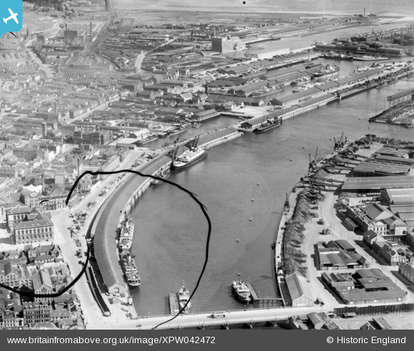
XPW042472 NORTHERN IRELAND (1933). Donegal Quay, Belfast, Belfast, Northern Ireland, 1933. Oblique aerial photograph taken facing North. This image has been produced from a damaged negative.
© Hawlfraint cyfranwyr OpenStreetMap a thrwyddedwyd gan yr OpenStreetMap Foundation. 2026. Trwyddedir y gartograffeg fel CC BY-SA.
Delweddau cyfagos (4)
XPW042472

XPW042460

XPW008415

XAW032823

Manylion
| Pennawd | [XPW042472] Donegal Quay, Belfast, Belfast, Northern Ireland, 1933. Oblique aerial photograph taken facing North. This image has been produced from a damaged negative. |
| Cyfeirnod | XPW042472 |
| Dyddiad | 1933 |
| Dolen | |
| Enw lle | BELFAST |
| Plwyf | NORTHERN IRELAND |
| Ardal | |
| Gwlad | NORTHERN IRELAND |
| Dwyreiniad / Gogleddiad | 146882, 529901 |
| Hydred / Lledred | -5.920484, 54.600692 |
| Cyfeirnod Grid Cenedlaethol |
Pinnau
Byddwch y cyntaf i ychwanegu sylw at y ddelwedd hon!