
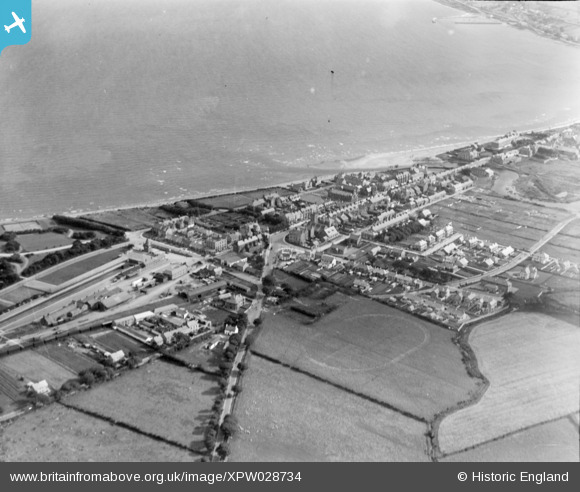
XPW028734 NORTHERN IRELAND (1929). General View, Newcastle, Down, Northern Ireland, 1929. Oblique aerial photograph taken facing South.
© Hawlfraint cyfranwyr OpenStreetMap a thrwyddedwyd gan yr OpenStreetMap Foundation. 2026. Trwyddedir y gartograffeg fel CC BY-SA.
Delweddau cyfagos (6)
XPW028734

XPW028739

XPW028736

XPW028735

XPW028741

XPW028738

Manylion
| Pennawd | [XPW028734] General View, Newcastle, Down, Northern Ireland, 1929. Oblique aerial photograph taken facing South. |
| Cyfeirnod | XPW028734 |
| Dyddiad | 1929 |
| Dolen | |
| Enw lle | NEWCASTLE |
| Plwyf | NORTHERN IRELAND |
| Ardal | |
| Gwlad | NORTHERN IRELAND |
| Dwyreiniad / Gogleddiad | 146519, 486770 |
| Hydred / Lledred | -5.889267, 54.213794 |
| Cyfeirnod Grid Cenedlaethol |
Pinnau

Coolian |
Thursday 30th of October 2014 03:29:43 PM |