
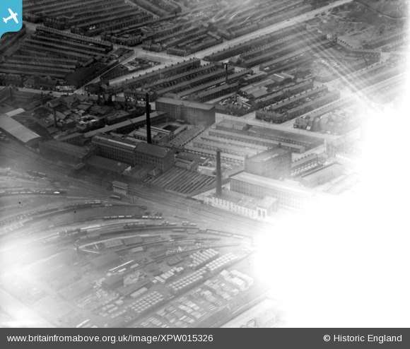
XPW015326 NORTHERN IRELAND (1926). Ferrymont Hill (fogged), Belfast, Belfast, Northern Ireland, 1926. Oblique aerial photograph taken facing West. This image has been produced from a damaged negative.
© Hawlfraint cyfranwyr OpenStreetMap a thrwyddedwyd gan yr OpenStreetMap Foundation. 2026. Trwyddedir y gartograffeg fel CC BY-SA.
Delweddau cyfagos (3)
XPW015326
, Belfast, Belfast, Northern Ireland, 1926. Oblique aerial photograph taken facing West. This image has been produced from a damaged negative.")
XPW028758

XPW028759

Manylion
| Pennawd | [XPW015326] Ferrymont Hill (fogged), Belfast, Belfast, Northern Ireland, 1926. Oblique aerial photograph taken facing West. This image has been produced from a damaged negative. |
| Cyfeirnod | XPW015326 |
| Dyddiad | 1926 |
| Dolen | |
| Enw lle | BELFAST |
| Plwyf | NORTHERN IRELAND |
| Ardal | |
| Gwlad | NORTHERN IRELAND |
| Dwyreiniad / Gogleddiad | 146880, 531489 |
| Hydred / Lledred | -5.921893, 54.61493 |
| Cyfeirnod Grid Cenedlaethol |
Pinnau
Byddwch y cyntaf i ychwanegu sylw at y ddelwedd hon!