
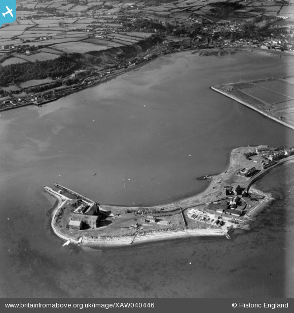
XAW040446 NORTHERN IRELAND (1951). General View, Larne, Larne, Northern Ireland, 1951. Oblique aerial photograph taken facing North/West.
© Hawlfraint cyfranwyr OpenStreetMap a thrwyddedwyd gan yr OpenStreetMap Foundation. 2026. Trwyddedir y gartograffeg fel CC BY-SA.
Delweddau cyfagos (3)
XAW040446

XAW040451

XAW040447

Manylion
| Pennawd | [XAW040446] General View, Larne, Larne, Northern Ireland, 1951. Oblique aerial photograph taken facing North/West. |
| Cyfeirnod | XAW040446 |
| Dyddiad | 28-September-1951 |
| Dolen | |
| Enw lle | LARNE |
| Plwyf | NORTHERN IRELAND |
| Ardal | |
| Gwlad | NORTHERN IRELAND |
| Dwyreiniad / Gogleddiad | 156122, 556157 |
| Hydred / Lledred | -5.799772, 54.840665 |
| Cyfeirnod Grid Cenedlaethol |
Pinnau

Stephen Craig |
Sunday 5th of April 2015 01:55:45 PM | |
|
Stephen Craig |
Sunday 5th of April 2015 01:55:40 PM | |
|
Stephen Craig |
Monday 1st of December 2014 01:46:59 PM | |
|
Stephen Craig |
Monday 1st of December 2014 01:46:32 PM | |
|
Stephen Craig |
Monday 1st of December 2014 01:45:27 PM | |
|
Stephen Craig |
Monday 1st of December 2014 01:43:53 PM | |
|
Stephen Craig |
Monday 1st of December 2014 01:42:48 PM |