
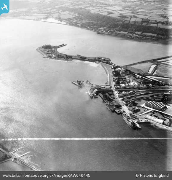
XAW040445 NORTHERN IRELAND (1951). General View, Larne, Larne, Northern Ireland, 1951. Oblique aerial photograph taken facing South/West. This image was marked by Aerofilms Ltd for photo editing.
© Hawlfraint cyfranwyr OpenStreetMap a thrwyddedwyd gan yr OpenStreetMap Foundation. 2026. Trwyddedir y gartograffeg fel CC BY-SA.
Delweddau cyfagos (2)
XAW040445

XAW040449

Manylion
| Pennawd | [XAW040445] General View, Larne, Larne, Northern Ireland, 1951. Oblique aerial photograph taken facing South/West. This image was marked by Aerofilms Ltd for photo editing. |
| Cyfeirnod | XAW040445 |
| Dyddiad | 28-September-1951 |
| Dolen | |
| Enw lle | LARNE |
| Plwyf | NORTHERN IRELAND |
| Ardal | |
| Gwlad | NORTHERN IRELAND |
| Dwyreiniad / Gogleddiad | 156516, 556705 |
| Hydred / Lledred | -5.794109, 54.845777 |
| Cyfeirnod Grid Cenedlaethol |
Pinnau

Michael |
Wednesday 15th of September 2021 10:34:10 AM |