
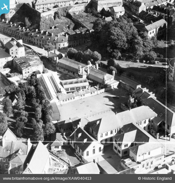
XAW040413 IRELAND (1951). Ideal Weatherproofs Ltd, Union Quay, Cork, Cork, Ireland, 1951. Oblique aerial photograph taken facing East. This image was marked by Aerofilms Ltd for photo editing.
© Hawlfraint cyfranwyr OpenStreetMap a thrwyddedwyd gan yr OpenStreetMap Foundation. 2026. Trwyddedir y gartograffeg fel CC BY-SA.
Delweddau cyfagos (14)
XAW040413

XAW040416

XAW040419

XAW040417

XAW040415

XAW040418

XAW040414

XAW040420

XAW040421

XPW042450

XAW009611

XAW027132

XAW027133

XAW027134

Manylion
| Pennawd | [XAW040413] Ideal Weatherproofs Ltd, Union Quay, Cork, Cork, Ireland, 1951. Oblique aerial photograph taken facing East. This image was marked by Aerofilms Ltd for photo editing. |
| Cyfeirnod | XAW040413 |
| Dyddiad | 12-September-1951 |
| Dolen | |
| Enw lle | CORK |
| Plwyf | IRELAND |
| Ardal | |
| Gwlad | IRELAND |
| Dwyreiniad / Gogleddiad | -45612, 241701 |
| Hydred / Lledred | -8.480388, 51.895019 |
| Cyfeirnod Grid Cenedlaethol |
Pinnau

powerpop |
Sunday 17th of January 2016 12:32:48 PM |