
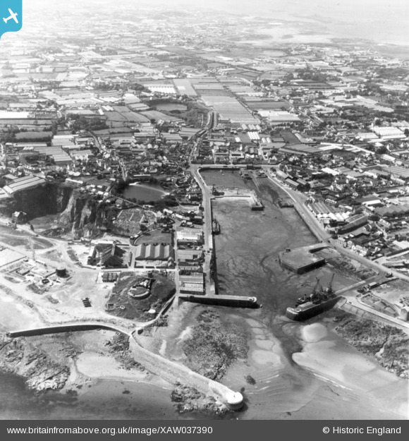
XAW037390 GUERNSEY (1951). Harbour, St Sampsons, Guernsey, Guernsey, 1951. Oblique aerial photograph taken facing West.
© Hawlfraint cyfranwyr OpenStreetMap a thrwyddedwyd gan yr OpenStreetMap Foundation. 2026. Trwyddedir y gartograffeg fel CC BY-SA.
Delweddau cyfagos (3)
XAW037390

XAW037389

XPW043243

Manylion
| Pennawd | [XAW037390] Harbour, St Sampsons, Guernsey, Guernsey, 1951. Oblique aerial photograph taken facing West. |
| Cyfeirnod | XAW037390 |
| Dyddiad | 22-June-1951 |
| Dolen | |
| Enw lle | ST SAMPSONS |
| Plwyf | GUERNSEY |
| Ardal | |
| Gwlad | GUERNSEY |
| Dwyreiniad / Gogleddiad | 363064, -46511 |
| Hydred / Lledred | -2.511212, 49.480777 |
| Cyfeirnod Grid Cenedlaethol |
