
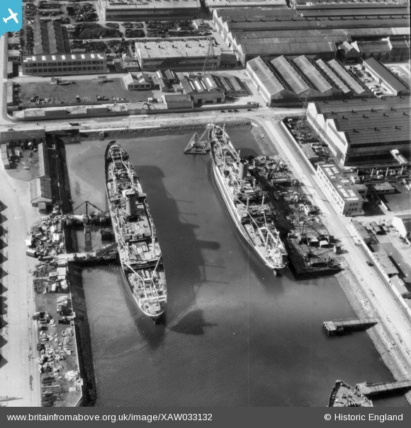
XAW033132 NORTHERN IRELAND (1950). General View, Belfast, Belfast, Northern Ireland, 1950. Oblique aerial photograph taken faxing South/West.
© Hawlfraint cyfranwyr OpenStreetMap a thrwyddedwyd gan yr OpenStreetMap Foundation. 2026. Trwyddedir y gartograffeg fel CC BY-SA.
Delweddau cyfagos (6)
XAW033132

XPW042467

XPW008412

XAW009553

XPW043365

XPW042463

Manylion
| Pennawd | [XAW033132] General View, Belfast, Belfast, Northern Ireland, 1950. Oblique aerial photograph taken faxing South/West. |
| Cyfeirnod | XAW033132 |
| Dyddiad | 15-September-1950 |
| Dolen | |
| Enw lle | BELFAST |
| Plwyf | NORTHERN IRELAND |
| Ardal | |
| Gwlad | NORTHERN IRELAND |
| Dwyreiniad / Gogleddiad | 148221, 530646 |
| Hydred / Lledred | -5.900448, 54.608036 |
| Cyfeirnod Grid Cenedlaethol |
Pinnau
Byddwch y cyntaf i ychwanegu sylw at y ddelwedd hon!