
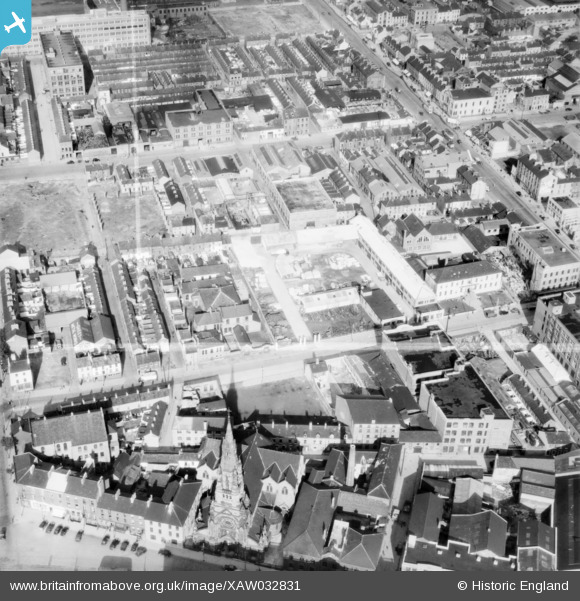
XAW032831 NORTHERN IRELAND (1950). Gracey Brothers Ltd., Belfast, Belfast, Northern Ireland, 1950. Oblique aerial photograph taken facing North/East. This image was marked by Aerofilms Ltd for photo editing.
© Hawlfraint cyfranwyr OpenStreetMap a thrwyddedwyd gan yr OpenStreetMap Foundation. 2026. Trwyddedir y gartograffeg fel CC BY-SA.
Delweddau cyfagos (9)
XAW032831

XAW032830

XAW032829

XAW032828

XAW032825

XAW032826

XAW032827

XAW027606

XAW027610

Manylion
| Pennawd | [XAW032831] Gracey Brothers Ltd., Belfast, Belfast, Northern Ireland, 1950. Oblique aerial photograph taken facing North/East. This image was marked by Aerofilms Ltd for photo editing. |
| Cyfeirnod | XAW032831 |
| Dyddiad | 15-September-1950 |
| Dolen | |
| Enw lle | BELFAST |
| Plwyf | NORTHERN IRELAND |
| Ardal | |
| Gwlad | NORTHERN IRELAND |
| Dwyreiniad / Gogleddiad | 146315, 530495 |
| Hydred / Lledred | -5.929757, 54.605735 |
| Cyfeirnod Grid Cenedlaethol |
Pinnau

samguthrie91 |
Monday 7th of July 2025 10:28:10 PM |