
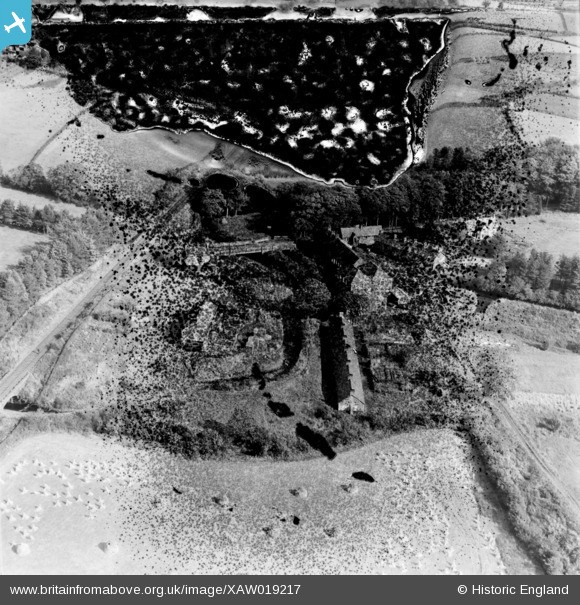
XAW019217 NORTHERN IRELAND (1948). William Clark & Sons Ltd., Upperlands, Magherafelt, Northern Ireland, 1948. Oblique aerial photograph taken facing North/East. This image has been produced from a damaged negative.
© Hawlfraint cyfranwyr OpenStreetMap a thrwyddedwyd gan yr OpenStreetMap Foundation. 2026. Trwyddedir y gartograffeg fel CC BY-SA.
Delweddau cyfagos (6)
XAW019217

XAW019216

XAW019218

XAW019215

XAW019223

XAW019222

Manylion
| Pennawd | [XAW019217] William Clark & Sons Ltd., Upperlands, Magherafelt, Northern Ireland, 1948. Oblique aerial photograph taken facing North/East. This image has been produced from a damaged negative. |
| Cyfeirnod | XAW019217 |
| Dyddiad | 25-September-1948 |
| Dolen | |
| Enw lle | UPPERLANDS |
| Plwyf | NORTHERN IRELAND |
| Ardal | |
| Gwlad | NORTHERN IRELAND |
| Dwyreiniad / Gogleddiad | 102753, 563663 |
| Hydred / Lledred | -6.635939, 54.879093 |
| Cyfeirnod Grid Cenedlaethol |
Pinnau
Byddwch y cyntaf i ychwanegu sylw at y ddelwedd hon!