
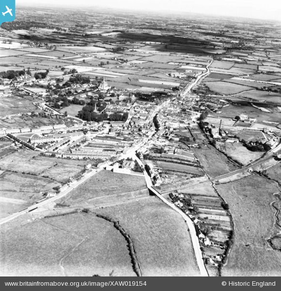
XAW019154 IRELAND (1948). General View, Tipperary, Tipperary, Ireland, 1948. Oblique aerial photograph taken facing North/East.
© Hawlfraint cyfranwyr OpenStreetMap a thrwyddedwyd gan yr OpenStreetMap Foundation. 2026. Trwyddedir y gartograffeg fel CC BY-SA.
Delweddau cyfagos (2)
XAW019154

XAW019155

Manylion
| Pennawd | [XAW019154] General View, Tipperary, Tipperary, Ireland, 1948. Oblique aerial photograph taken facing North/East. |
| Cyfeirnod | XAW019154 |
| Dyddiad | 21-September-1948 |
| Dolen | |
| Enw lle | TIPPERARY |
| Plwyf | IRELAND |
| Ardal | |
| Gwlad | IRELAND |
| Dwyreiniad / Gogleddiad | -18467, 303960 |
| Hydred / Lledred | -8.165008, 52.472571 |
| Cyfeirnod Grid Cenedlaethol |
Pinnau
Byddwch y cyntaf i ychwanegu sylw at y ddelwedd hon!