
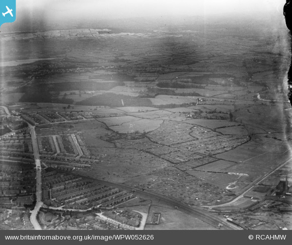
WPW052626 WALES (1937). Distant view of new housing at Newport, oblique aerial view. 5"x4" black and white glass plate negative.
© Hawlfraint cyfranwyr OpenStreetMap a thrwyddedwyd gan yr OpenStreetMap Foundation. 2026. Trwyddedir y gartograffeg fel CC BY-SA.
Delweddau cyfagos (48)
WPW000947

WPW000949

WPW000951

WPW000952

WPW000953

WPW000954

WPW022280

WPW022281

WPW022284

WPW022285

WPW022286

WPW029303

WPW029304

WPW029305

WPW029306

WPW029307

WPW029309

WPW029313

WPW032457

WPW032458

WPW032459

WPW032460

WPW032461

WPW032462

WPW032463

WPW052620

WPW052621

WPW052622

WPW052626

WPW052629

WPW052632

WPW052634

WPW052639

WPW052641

WPW052643

WPW052644

WPW052645

WPW052646

WPW052648

WPW052649

WPW052650

WPW052652

WPW052653

WPW052654

WPW052655

WPW052656

WPW052657

WPW052658

Manylion
| Pennawd | [WPW052626] Distant view of new housing at Newport, oblique aerial view. 5"x4" black and white glass plate negative. |
| Cyfeirnod | WPW052626 |
| Dyddiad | 1937 |
| Dolen | Coflein Archive Item 6370047 |
| Enw lle | |
| Plwyf | |
| Ardal | |
| Gwlad | WALES |
| Dwyreiniad / Gogleddiad | 331010, 188330 |
| Hydred / Lledred | -2.9959602652742, 51.589120636107 |
| Cyfeirnod Grid Cenedlaethol | ST310883 |
Pinnau
Byddwch y cyntaf i ychwanegu sylw at y ddelwedd hon!
Cyfraniadau Grŵp
I think it is East Cardiff looking NW. Newport Road would be just below the bottom of the picture. Roath Lake is near the top left, and the railway in the lower part of the picture is a branch of the TVR - there is a small bit of bridge remaining a little NW of Newport Road. The river Rhymney is on the RHS, top half of the picture. |

ChrisBartley |
Saturday 18th of January 2014 12:01:23 PM |