
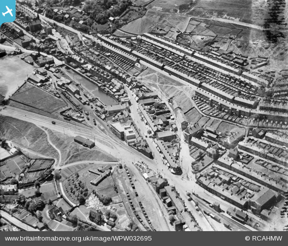
WPW032695 WALES (1930). View of Ebbw Vale, showing Workmans Hall, Boer War memorial, and streets, oblique aerial view. 5"x4" black and white glass plate negative.
© Hawlfraint cyfranwyr OpenStreetMap a thrwyddedwyd gan yr OpenStreetMap Foundation. 2026. Trwyddedir y gartograffeg fel CC BY-SA.
Delweddau cyfagos (12)
WPW032438

WPW032694

WPW032695

WPW032696

WPW032705

WPW032706

WPW032707

WPW049965

WPW049967

WPW049991

WPW049993

WPW049995

Manylion
| Pennawd | [WPW032695] View of Ebbw Vale, showing Workmans Hall, Boer War memorial, and streets, oblique aerial view. 5"x4" black and white glass plate negative. |
| Cyfeirnod | WPW032695 |
| Dyddiad | 1930 |
| Dolen | Coflein Archive Item 6370847 |
| Enw lle | |
| Plwyf | |
| Ardal | |
| Gwlad | WALES |
| Dwyreiniad / Gogleddiad | 316800, 210000 |
| Hydred / Lledred | -3.2062224464759, 51.782019540859 |
| Cyfeirnod Grid Cenedlaethol | SO168100 |
Pinnau

Allan |
Tuesday 22nd of July 2025 12:29:00 PM | |
|
swalian |
Wednesday 5th of March 2025 05:31:39 PM | |
|
swalian |
Wednesday 5th of March 2025 05:29:07 PM | |
|
swalian |
Wednesday 5th of March 2025 05:28:25 PM | |
|
swalian |
Wednesday 5th of March 2025 05:28:01 PM | |
|
swalian |
Wednesday 5th of March 2025 05:27:30 PM | |
|
swalian |
Wednesday 5th of March 2025 05:27:11 PM | |
|
swalian |
Wednesday 5th of March 2025 05:26:20 PM | |
|
swalian |
Wednesday 5th of March 2025 05:25:25 PM | |
|
swalian |
Wednesday 5th of March 2025 05:23:30 PM | |
|
swalian |
Wednesday 5th of March 2025 05:22:38 PM | |
|
swalian |
Wednesday 5th of March 2025 05:21:15 PM | |
|
swalian |
Wednesday 5th of March 2025 05:20:39 PM | |
|
swalian |
Wednesday 5th of March 2025 05:19:38 PM | |
|
swalian |
Wednesday 5th of March 2025 05:18:40 PM | |
|
swalian |
Wednesday 5th of March 2025 05:17:57 PM | |
|
swalian |
Wednesday 5th of March 2025 05:17:19 PM | |
|
swalian |
Saturday 24th of August 2013 12:18:55 AM | |
|
judgejeffriesjones |
Thursday 14th of March 2013 07:43:59 PM | |
|
judgejeffriesjones |
Thursday 14th of March 2013 07:40:32 PM | |
|
judgejeffriesjones |
Thursday 14th of March 2013 07:39:40 PM | |
|
judgejeffriesjones |
Thursday 14th of March 2013 07:38:45 PM | |
|
judgejeffriesjones |
Thursday 14th of March 2013 07:37:08 PM | |
|
judgejeffriesjones |
Thursday 14th of March 2013 07:35:44 PM | |
|
judgejeffriesjones |
Thursday 14th of March 2013 07:34:25 PM | |
|
swalian |
Thursday 22nd of November 2012 02:36:49 AM | |
|
swalian |
Thursday 22nd of November 2012 02:32:42 AM | |
|
swalian |
Sunday 21st of October 2012 01:47:41 AM | |
|
swalian |
Monday 20th of August 2012 04:14:49 AM | |
|
swalian |
Monday 20th of August 2012 04:12:03 AM | |
|
swalian |
Monday 20th of August 2012 03:51:18 AM | |
|
swalian |
Monday 20th of August 2012 03:48:18 AM | |
|
swalian |
Monday 20th of August 2012 03:46:25 AM | |
|
swalian |
Monday 20th of August 2012 03:45:17 AM | |
|
swalian |
Monday 20th of August 2012 03:44:40 AM | |
|
swalian |
Monday 20th of August 2012 03:43:31 AM | |
|
swalian |
Monday 20th of August 2012 03:42:29 AM | |
|
swalian |
Monday 20th of August 2012 03:40:50 AM | |
|
swalian |
Monday 20th of August 2012 03:39:33 AM | |
|
judgejeffriesjones |
Saturday 11th of August 2012 10:35:39 PM | |
|
judgejeffriesjones |
Saturday 11th of August 2012 10:34:19 PM | |
|
judgejeffriesjones |
Saturday 11th of August 2012 10:33:38 PM | |
|
judgejeffriesjones |
Saturday 11th of August 2012 10:31:57 PM | |
|
geejay |
Sunday 15th of July 2012 03:45:03 PM | |
|
geejay |
Sunday 15th of July 2012 12:21:15 AM | |

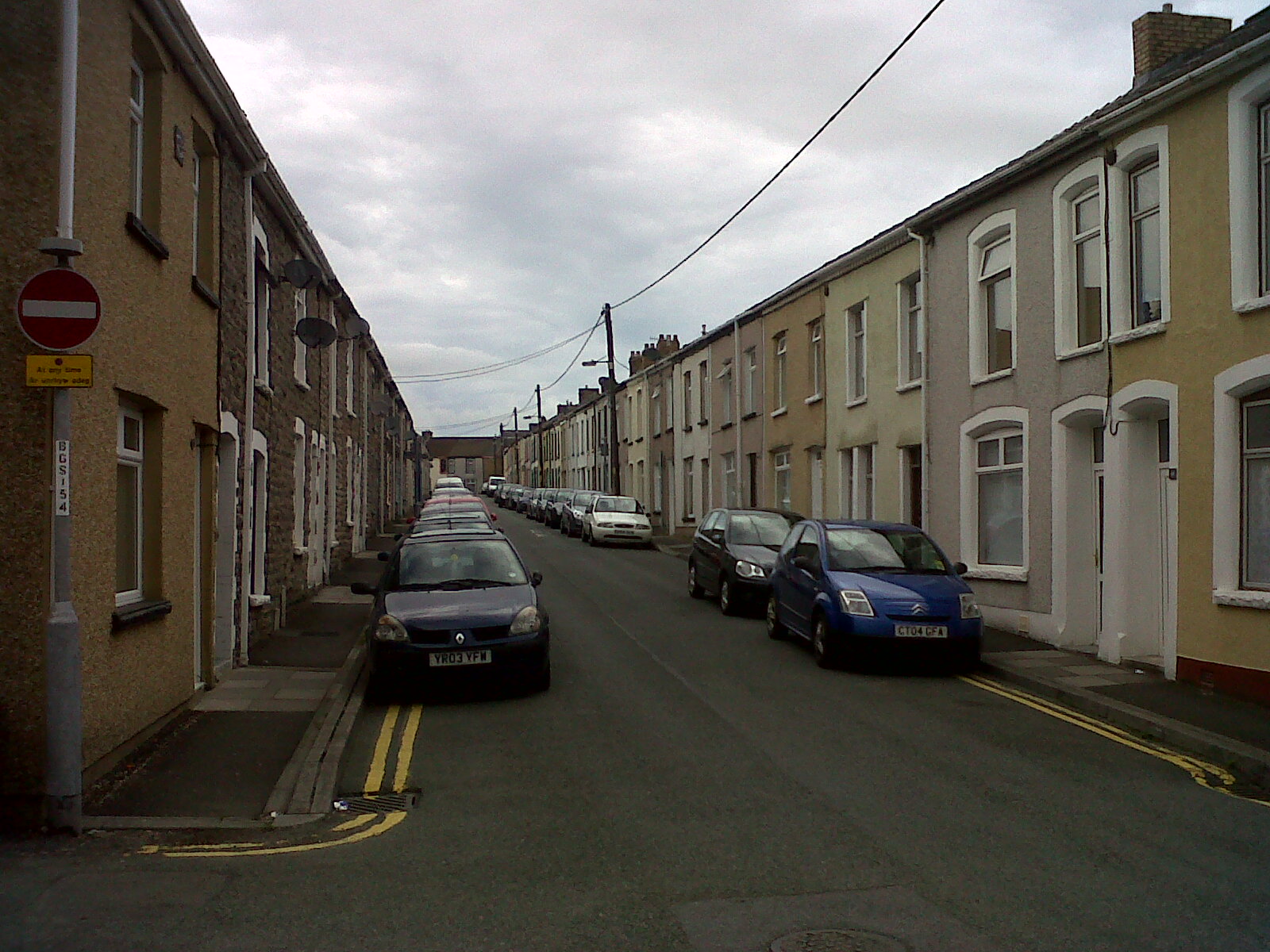
Class31 |
Tuesday 3rd of July 2012 03:08:19 PM | |
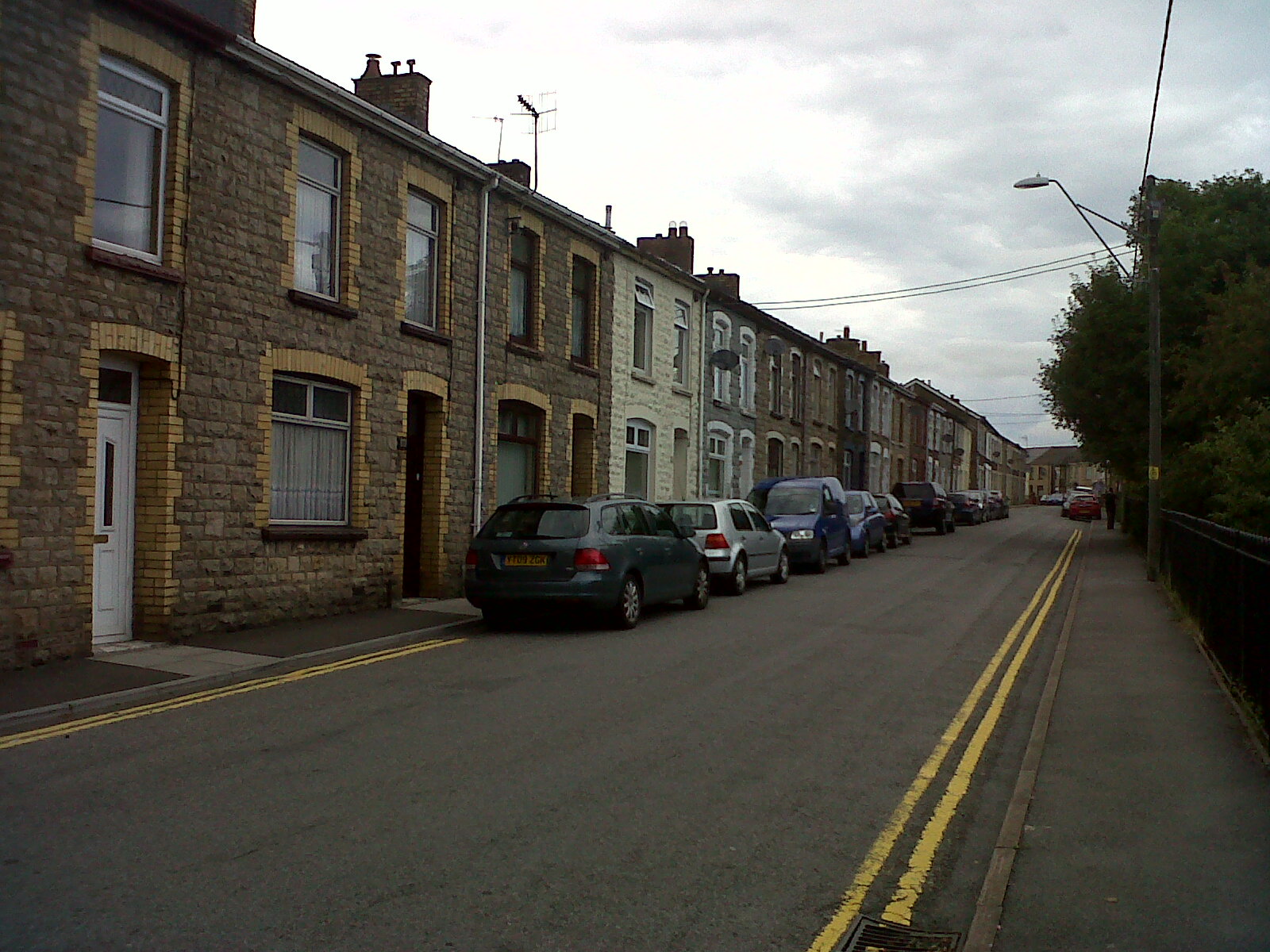
Sorry, but this is William Street, i lived there |
geejay |
Sunday 15th of July 2012 12:20:01 AM |
|
Class31 |
Tuesday 3rd of July 2012 03:08:02 PM | |
|
Class31 |
Tuesday 3rd of July 2012 03:04:58 PM | |
|
Class31 |
Tuesday 3rd of July 2012 03:04:31 PM | |
|
Chelsea61 |
Thursday 28th of June 2012 10:20:34 PM |
Cyfraniadau Grŵp
There were two stations with the name Ebbw Vale. This is the High Level Station formerly LNWR and at this time LMS. It was the terminus of the branch line from the station at Beaufort and was about 1.5 miles in length. The line was originally part of the Merthyr Tredegar and Abergavenny Railway which after completion in the 1870s was taken over by the LNWR. The station closed in the 1950's. The Low Level station was GWR and although the original station has now closed that line now carries passengers again and the Ebbw Vale terminus is near the site of the former "General Offices which now contain the Gwent archives. The Low Level Station which was GWR would have been just out of view at the bottom of this photograph. |
Ivan |
Tuesday 1st of December 2015 11:18:06 PM |
Looking north down Armoury Terrace 24/08/2013 |
Class31 |
Monday 26th of August 2013 08:53:34 PM |
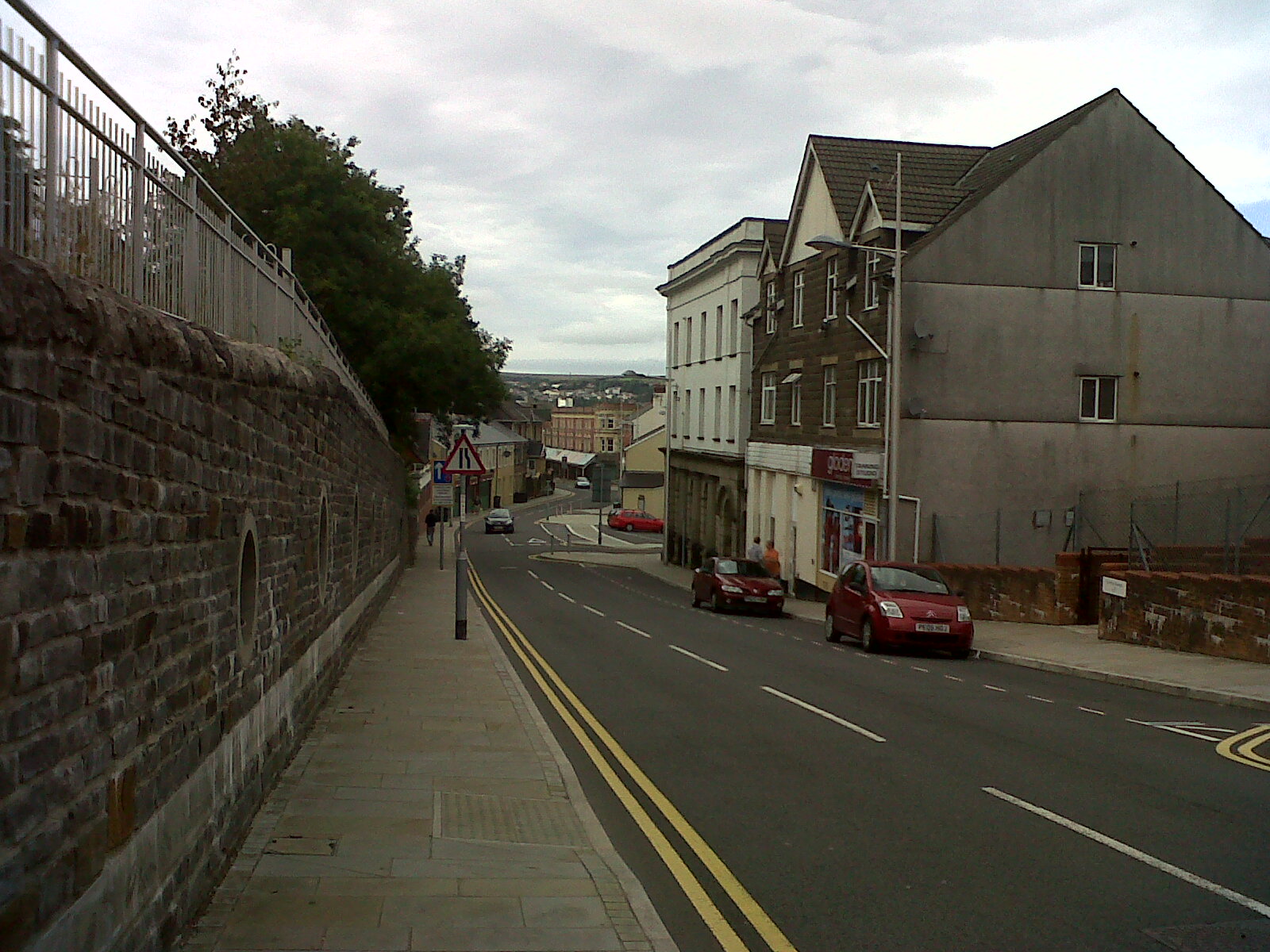
Church Street looking south. |
Class31 |
Monday 26th of August 2013 08:48:33 PM |
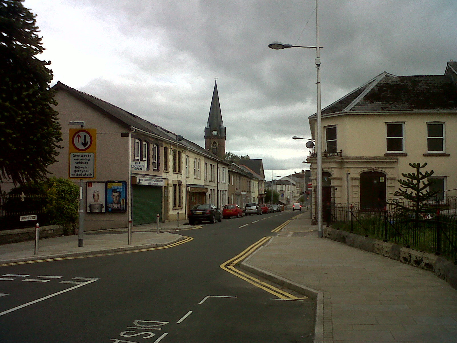
Pennant Street looking north 24/08/2013 |
Class31 |
Monday 26th of August 2013 08:45:14 PM |
Eureka Place looking north 24/08/2013 |
Class31 |
Monday 26th of August 2013 08:43:34 PM |
"The crossing" drillgound pumping pit and pond. The old "dugout" ex sevicemans club at lower center left. |
swalian |
Tuesday 26th of June 2012 03:43:01 AM |
The crossing, Ebbw Vale. |
swalian |
Tuesday 26th of June 2012 03:37:16 AM |