
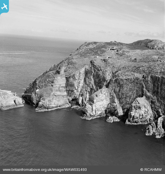
WAW031493 WALES (1950). View of South Stack, Holyhead Island, Anglesey
© Hawlfraint cyfranwyr OpenStreetMap a thrwyddedwyd gan yr OpenStreetMap Foundation. 2026. Trwyddedir y gartograffeg fel CC BY-SA.
Delweddau cyfagos (11)
WAW031488

WAW031489

WAW031490

WAW031491

WAW031492

WAW031493

WAW031494

WAW049723

WAW049724

WAW049725

WAW049726

Manylion
| Pennawd | [WAW031493] View of South Stack, Holyhead Island, Anglesey |
| Cyfeirnod | WAW031493 |
| Dyddiad | 1950 |
| Dolen | Coflein Archive Item 6414286 |
| Enw lle | |
| Plwyf | |
| Ardal | |
| Gwlad | WALES |
| Dwyreiniad / Gogleddiad | 220170, 382250 |
| Hydred / Lledred | -4.6993013561762, 53.306342197426 |
| Cyfeirnod Grid Cenedlaethol | SH202823 |
