
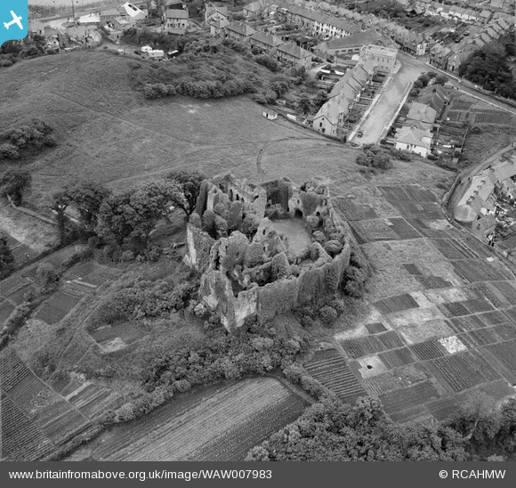
WAW007983 WALES (1947). View of Oystermouth castle showing allotment gardens
© Hawlfraint cyfranwyr OpenStreetMap a thrwyddedwyd gan yr OpenStreetMap Foundation. 2026. Trwyddedir y gartograffeg fel CC BY-SA.
Delweddau cyfagos (19)
WAW005887

WAW005888

WAW005889

WAW005890

WAW007661

WAW007662

WAW007663

WAW007664

WAW007666

WAW007978

WAW007979

WAW007980

WAW007981

WAW007982

WAW007983

WAW023850

WAW023851

WAW023852

WAW023853

Manylion
| Pennawd | [WAW007983] View of Oystermouth castle showing allotment gardens |
| Cyfeirnod | WAW007983 |
| Dyddiad | 30-June-1947 |
| Dolen | Coflein Archive Item 6413552 |
| Enw lle | |
| Plwyf | |
| Ardal | |
| Gwlad | WALES |
| Dwyreiniad / Gogleddiad | 261320, 188360 |
| Hydred / Lledred | -4.0015429202709, 51.576547560667 |
| Cyfeirnod Grid Cenedlaethol | SS613884 |
Pinnau

Cyfraniadau Grŵp

Oystermouth Castle, Mumbles, 27/06/2014 |

Class31 |
Sunday 29th of June 2014 03:38:10 PM |
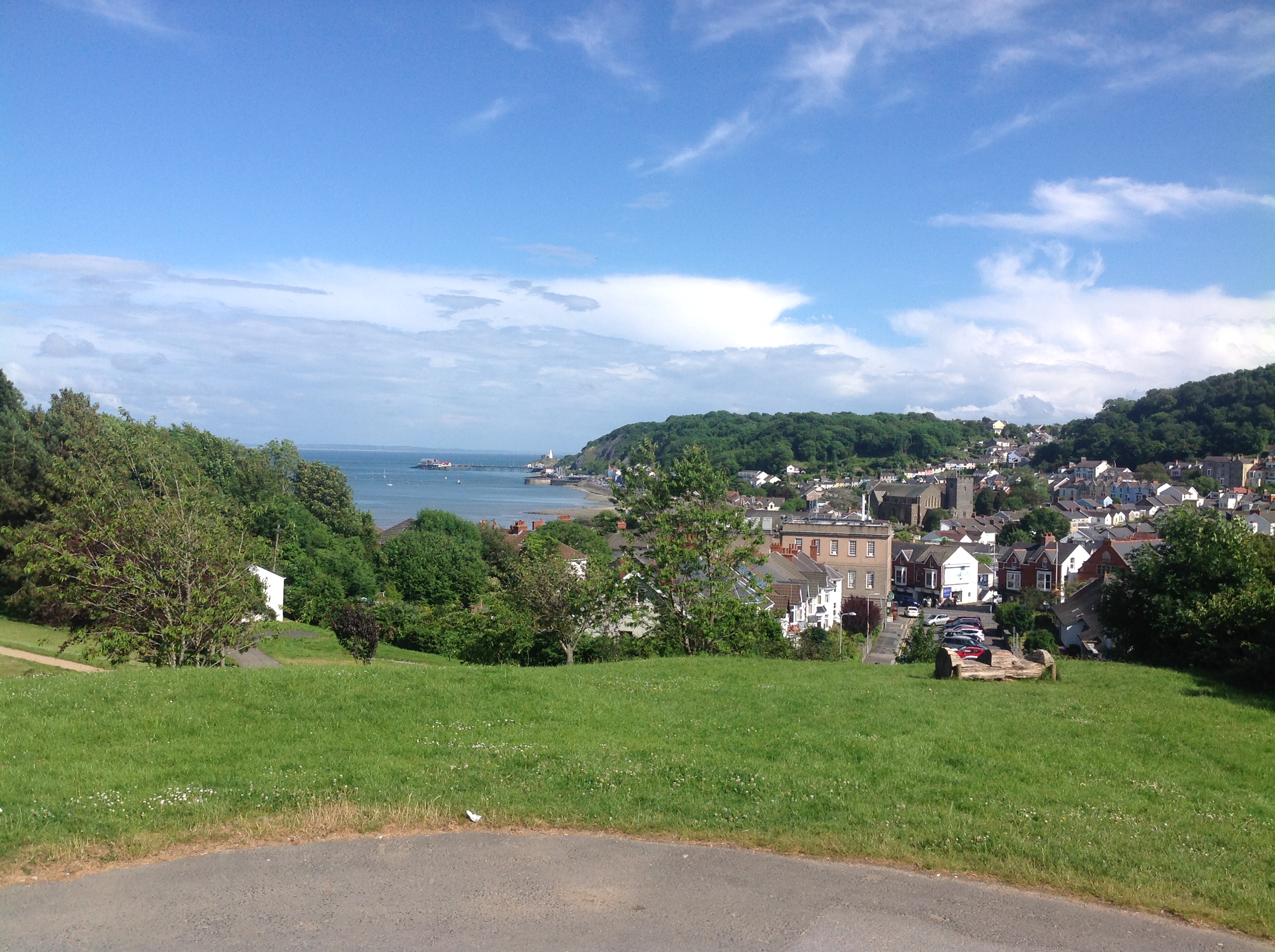
View from Oystermouth Castle, Mumbles, 27/06/2014 |
Class31 |
Saturday 28th of June 2014 10:17:30 PM |
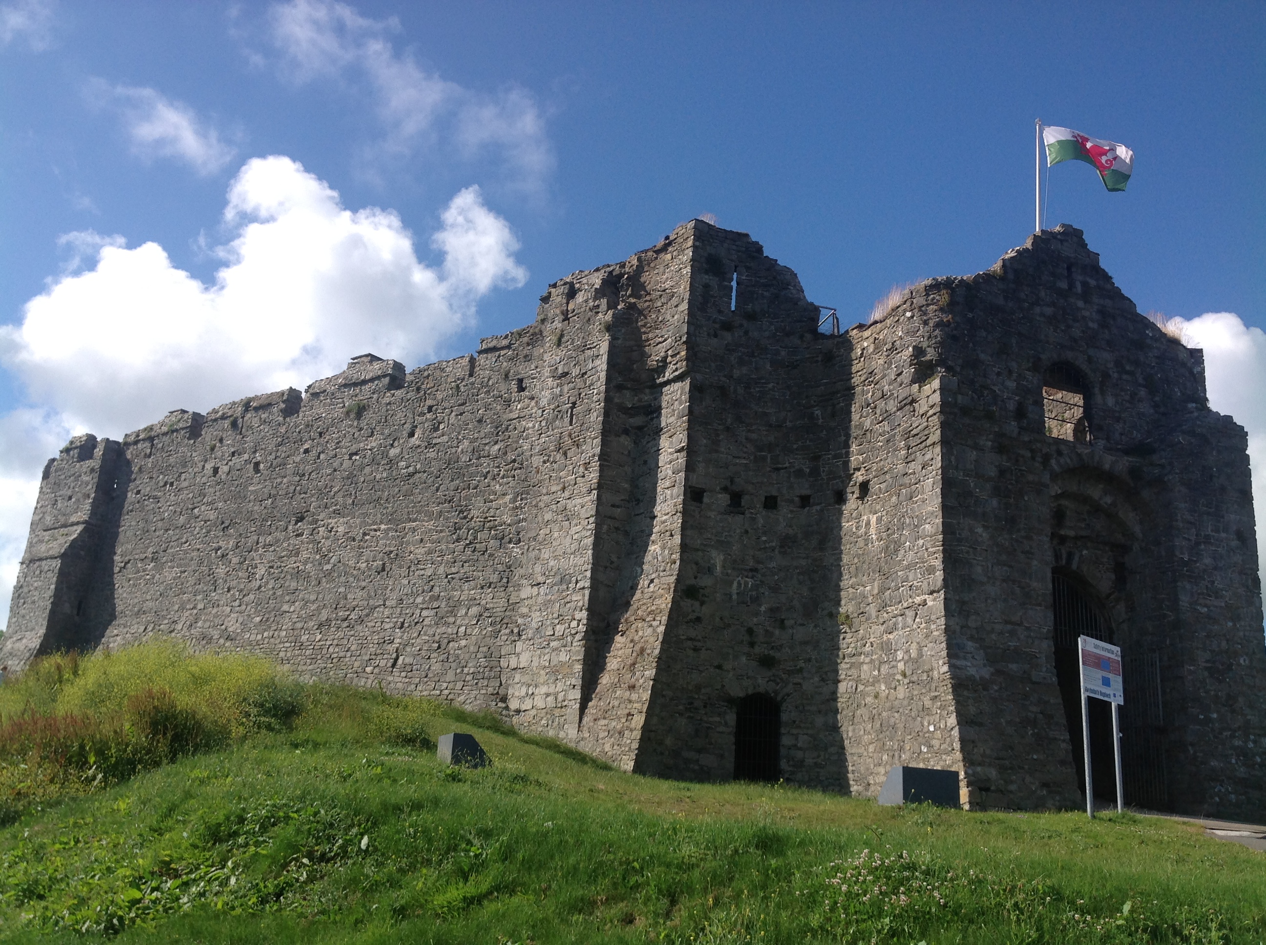
Oystermouth Castle, Mumbles, 27/06/2014 |
Class31 |
Saturday 28th of June 2014 10:10:13 PM |
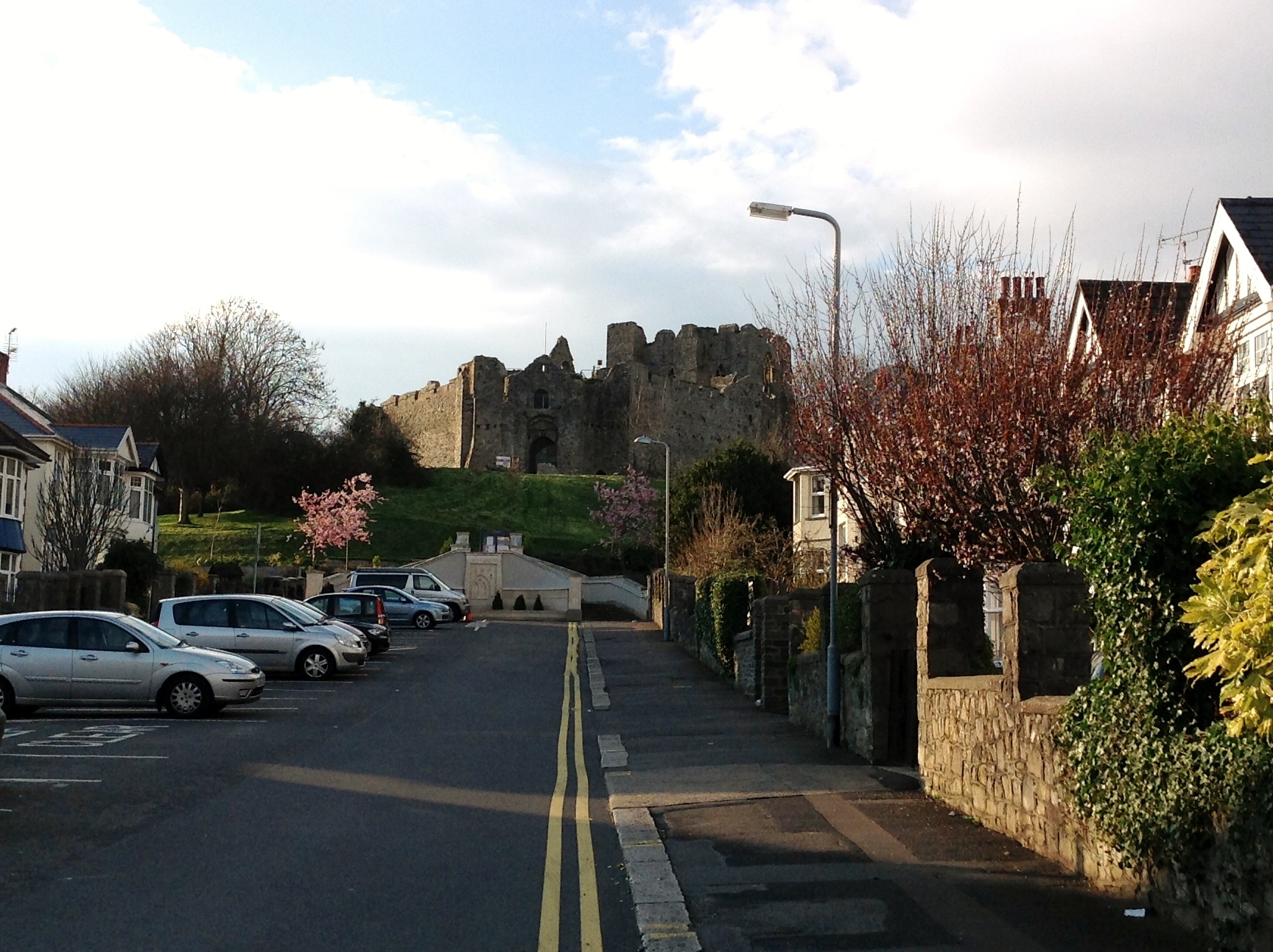
Oystermouth Castle 27/03/2014 |
Class31 |
Monday 28th of April 2014 12:27:18 PM |