
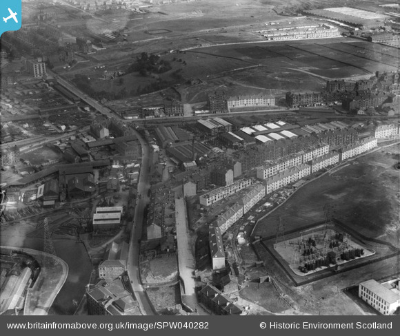
SPW040282 SCOTLAND (1932). Glasgow, general view, showing Brownlee and Co. City Saw Mills, Port Dundas and Cowlairs Park. An oblique aerial photograph taken facing north-east.
© Hawlfraint cyfranwyr OpenStreetMap a thrwyddedwyd gan yr OpenStreetMap Foundation. 2026. Trwyddedir y gartograffeg fel CC BY-SA.
Delweddau cyfagos (8)
SPW040276

SPW040278

SPW040279

SPW040280

SPW040281

SPW040282

SPW040277

SPW040283

Manylion
| Pennawd | [SPW040282] Glasgow, general view, showing Brownlee and Co. City Saw Mills, Port Dundas and Cowlairs Park. An oblique aerial photograph taken facing north-east. |
| Cyfeirnod | SPW040282 |
| Dyddiad | 1932 |
| Dolen | NRHE Collection item 1257329 |
| Enw lle | |
| Plwyf | GLASGOW (CITY OF GLASGOW) |
| Ardal | CITY OF GLASGOW |
| Gwlad | SCOTLAND |
| Dwyreiniad / Gogleddiad | 259090, 667100 |
| Hydred / Lledred | -4.2525918846294, 55.876450138599 |
| Cyfeirnod Grid Cenedlaethol | NS591671 |
Pinnau
Byddwch y cyntaf i ychwanegu sylw at y ddelwedd hon!