
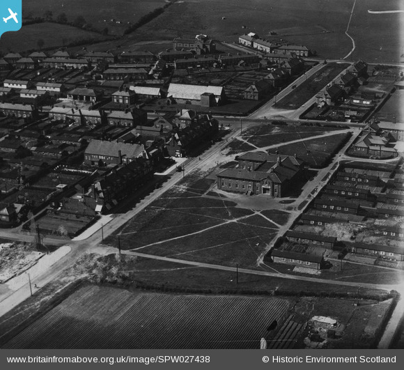
SPW027438 SCOTLAND (1929). East Wemyss, general view, showing Wemyss Parish Church and Main Street. An oblique aerial photograph taken facing north-west.
© Hawlfraint cyfranwyr OpenStreetMap a thrwyddedwyd gan yr OpenStreetMap Foundation. 2026. Trwyddedir y gartograffeg fel CC BY-SA.
Delweddau cyfagos (3)
SPW027438

SPW027434

SAR031677

Manylion
| Pennawd | [SPW027438] East Wemyss, general view, showing Wemyss Parish Church and Main Street. An oblique aerial photograph taken facing north-west. |
| Cyfeirnod | SPW027438 |
| Dyddiad | 1929 |
| Dolen | NRHE Collection item 1259367 |
| Enw lle | |
| Plwyf | WEMYSS |
| Ardal | KIRKCALDY |
| Gwlad | SCOTLAND |
| Dwyreiniad / Gogleddiad | 334025, 696759 |
| Hydred / Lledred | -3.0623284487056, 56.159001639746 |
| Cyfeirnod Grid Cenedlaethol | NT340968 |
Pinnau
Byddwch y cyntaf i ychwanegu sylw at y ddelwedd hon!
Cyfraniadau Grŵp
Hi flyfifer You were right not to recognise the places shown as East Wemyss. I did a little investigation and I've found the same photo identified as :- Title Gretna, general view, showing The Institute and All Saints Episcopal Church. An oblique aerial photograph taken facing north. Image reference SPW027435 Date 31st December 1929 Looks like it's Gretna and not East Wemyss! |

Class31 |
Thursday 12th of February 2015 08:47:21 AM |
I'm not recognising any of these buildings, don't think this is East Wemyss???? |

flyfifer |
Thursday 12th of February 2015 12:14:00 AM |
I'm not recognising any of these buildings, don't think this is East Wemyss???? |
flyfifer |
Thursday 12th of February 2015 12:13:57 AM |