
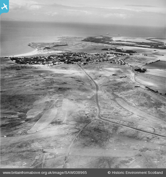
SAW038965 SCOTLAND (1951). Gullane Golf Course. An oblique aerial photograph taken facing north-east.
© Hawlfraint cyfranwyr OpenStreetMap a thrwyddedwyd gan yr OpenStreetMap Foundation. 2026. Trwyddedir y gartograffeg fel CC BY-SA.
Delweddau cyfagos (2)
SAW038965

SAW038967

Manylion
| Pennawd | [SAW038965] Gullane Golf Course. An oblique aerial photograph taken facing north-east. |
| Cyfeirnod | SAW038965 |
| Dyddiad | 1951 |
| Dolen | NRHE Collection item 1269889 |
| Enw lle | |
| Plwyf | DIRLETON |
| Ardal | EAST LOTHIAN |
| Gwlad | SCOTLAND |
| Dwyreiniad / Gogleddiad | 347960, 682110 |
| Hydred / Lledred | -2.8351245133828, 56.029110104231 |
| Cyfeirnod Grid Cenedlaethol | NT480821 |
Pinnau
Cyfraniadau Grŵp

Anti Tank Blocks, Gullane. |

cptpies |
Thursday 19th of December 2013 03:12:23 PM |