
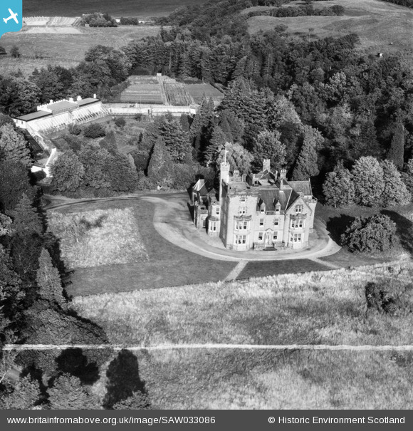
SAW033086 SCOTLAND (1950). Eriska House, Isle of Eriska. An oblique aerial photograph taken facing north-east. This image has been produced from a crop marked negative.
© Hawlfraint cyfranwyr OpenStreetMap a thrwyddedwyd gan yr OpenStreetMap Foundation. 2026. Trwyddedir y gartograffeg fel CC BY-SA.
Delweddau cyfagos (6)
SAW033084

SAW033085

SAW033086

SAW033088

SAW033089

SAW033090

Manylion
| Pennawd | [SAW033086] Eriska House, Isle of Eriska. An oblique aerial photograph taken facing north-east. This image has been produced from a crop marked negative. |
| Cyfeirnod | SAW033086 |
| Dyddiad | 1950 |
| Dolen | NRHE Collection item 1297600 |
| Enw lle | |
| Plwyf | ARDCHATTAN AND MUCKAIRN (ARGYLL AND BUTE) |
| Ardal | ARGYLL AND BUTE |
| Gwlad | SCOTLAND |
| Dwyreiniad / Gogleddiad | 190241, 743071 |
| Hydred / Lledred | -5.4114491300636, 56.532861996129 |
| Cyfeirnod Grid Cenedlaethol | NM902431 |
Pinnau
Byddwch y cyntaf i ychwanegu sylw at y ddelwedd hon!