
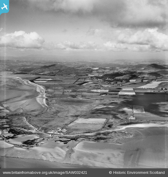
SAW032421 SCOTLAND (1950). Southerness, general view, showing Southerness Golf Course and Bainloch Hill. An oblique aerial photograph taken facing north-west.
© Hawlfraint cyfranwyr OpenStreetMap a thrwyddedwyd gan yr OpenStreetMap Foundation. 2026. Trwyddedir y gartograffeg fel CC BY-SA.
Delweddau cyfagos (2)
SAW009335

SAW032421

Manylion
| Pennawd | [SAW032421] Southerness, general view, showing Southerness Golf Course and Bainloch Hill. An oblique aerial photograph taken facing north-west. |
| Cyfeirnod | SAW032421 |
| Dyddiad | 1950 |
| Dolen | NRHE Collection item 1269809 |
| Enw lle | |
| Plwyf | KIRKBEAN |
| Ardal | NITHSDALE |
| Gwlad | SCOTLAND |
| Dwyreiniad / Gogleddiad | 296656, 554903 |
| Hydred / Lledred | -3.6108924431507, 54.878104985065 |
| Cyfeirnod Grid Cenedlaethol | NX967549 |
Pinnau

John Llewellyn |
Monday 24th of October 2016 04:33:24 PM | |
|
Mike Richardson |
Saturday 1st of March 2014 04:16:39 PM | |
|
Mike Richardson |
Saturday 1st of March 2014 04:13:15 PM | |
|
Mike Richardson |
Saturday 1st of March 2014 04:12:04 PM | |
|
Mike Richardson |
Saturday 1st of March 2014 04:10:59 PM |