
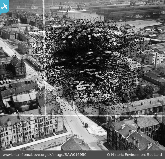
SAW016950 SCOTLAND (1948). Glasgow, general view, showing Copland Road and Prince's Dock. An oblique aerial photograph taken facing east. This image has been produced from a damaged and crop marked negative.
© Hawlfraint cyfranwyr OpenStreetMap a thrwyddedwyd gan yr OpenStreetMap Foundation. 2026. Trwyddedir y gartograffeg fel CC BY-SA.
Delweddau cyfagos (5)
SAW016950

SAW016951

SAW016952

SAR014782

SAW009727

Manylion
| Pennawd | [SAW016950] Glasgow, general view, showing Copland Road and Prince's Dock. An oblique aerial photograph taken facing east. This image has been produced from a damaged and crop marked negative. |
| Cyfeirnod | SAW016950 |
| Dyddiad | 1948 |
| Dolen | NRHE Collection item 1269059 |
| Enw lle | |
| Plwyf | GOVAN (CITY OF GLASGOW) |
| Ardal | CITY OF GLASGOW |
| Gwlad | SCOTLAND |
| Dwyreiniad / Gogleddiad | 255794, 664604 |
| Hydred / Lledred | -4.3039069615992, 55.853064426057 |
| Cyfeirnod Grid Cenedlaethol | NS558646 |
Pinnau

Billy Turner |
Wednesday 2nd of September 2015 09:28:19 PM | |

Class31 |
Tuesday 27th of November 2012 10:35:54 AM | |
|
Class31 |
Tuesday 27th of November 2012 10:33:46 AM | |
|
Class31 |
Monday 26th of November 2012 11:38:44 PM | |
|
Class31 |
Monday 26th of November 2012 11:37:00 PM | |
|
Class31 |
Monday 26th of November 2012 11:36:22 PM | |
|
Class31 |
Monday 26th of November 2012 11:32:21 PM | |
|
Class31 |
Monday 26th of November 2012 11:29:30 PM |
