
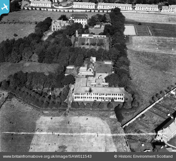
SAW011543 SCOTLAND (1947). St Margaret's Convent and School, Renfrew Road, Paisley. An oblique aerial photograph taken facing north. This image has been produced from a crop marked negative.
© Hawlfraint cyfranwyr OpenStreetMap a thrwyddedwyd gan yr OpenStreetMap Foundation. 2026. Trwyddedir y gartograffeg fel CC BY-SA.
Delweddau cyfagos (20)
SAW011542

SAW011543

SAW011544

SAW011545

SAW006122

SAW007877

SAW006127

SAW006123

SAW006124

SAW006125

SAW006126

SAW006128

SAW006129

SAW007878

SAW007879

SAW007880

SAW007881

SAW011539

SAW011540

SAW011541

Manylion
| Pennawd | [SAW011543] St Margaret's Convent and School, Renfrew Road, Paisley. An oblique aerial photograph taken facing north. This image has been produced from a crop marked negative. |
| Cyfeirnod | SAW011543 |
| Dyddiad | 1947 |
| Dolen | NRHE Collection item 1268764 |
| Enw lle | |
| Plwyf | PAISLEY (RENFREW) |
| Ardal | RENFREW |
| Gwlad | SCOTLAND |
| Dwyreiniad / Gogleddiad | 249064, 665052 |
| Hydred / Lledred | -4.4115734036071, 55.855027725439 |
| Cyfeirnod Grid Cenedlaethol | NS491651 |
Pinnau
Byddwch y cyntaf i ychwanegu sylw at y ddelwedd hon!