
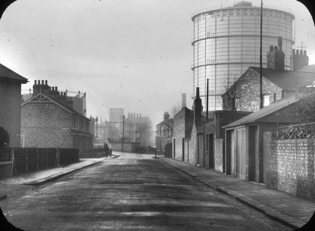
EPW062695 ENGLAND (1939). Bradford Road Gas Works and environs, Manchester, 1939

© Hawlfraint cyfranwyr OpenStreetMap a thrwyddedwyd gan yr OpenStreetMap Foundation. 2026. Trwyddedir y gartograffeg fel CC BY-SA.
Delweddau cyfagos (7)
EPW062695

EPW062707

EPW062705

EPW062693

EPW062706

EPW062696

EPW062694

Manylion
| Pennawd | [EPW062695] Bradford Road Gas Works and environs, Manchester, 1939 |
| Cyfeirnod | EPW062695 |
| Dyddiad | 16-August-1939 |
| Dolen | |
| Enw lle | MANCHESTER |
| Plwyf | |
| Ardal | |
| Gwlad | ENGLAND |
| Dwyreiniad / Gogleddiad | 386536, 399118 |
| Hydred / Lledred | -2.2029414606768, 53.488350976083 |
| Cyfeirnod Grid Cenedlaethol | SJ865991 |
Pinnau
Tegels |
Wednesday 18th of October 2017 09:06:10 PM |