
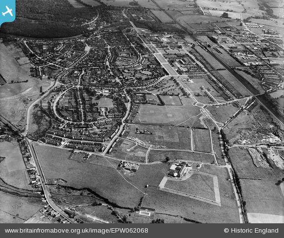
EPW062068 ENGLAND (1939). Handside and the town centre, Welwyn Garden City, from the south-west, 1939
© Hawlfraint cyfranwyr OpenStreetMap a thrwyddedwyd gan yr OpenStreetMap Foundation. 2026. Trwyddedir y gartograffeg fel CC BY-SA.
Delweddau cyfagos (6)
EPW062068

EPW047345

EPW047346

EPW062070

EPW062044

EPW062045

Manylion
| Pennawd | [EPW062068] Handside and the town centre, Welwyn Garden City, from the south-west, 1939 |
| Cyfeirnod | EPW062068 |
| Dyddiad | 28-June-1939 |
| Dolen | |
| Enw lle | WELWYN GARDEN CITY |
| Plwyf | |
| Ardal | |
| Gwlad | ENGLAND |
| Dwyreiniad / Gogleddiad | 522784, 211804 |
| Hydred / Lledred | -0.21950625712338, 51.790947258554 |
| Cyfeirnod Grid Cenedlaethol | TL228118 |
Pinnau
Byddwch y cyntaf i ychwanegu sylw at y ddelwedd hon!