
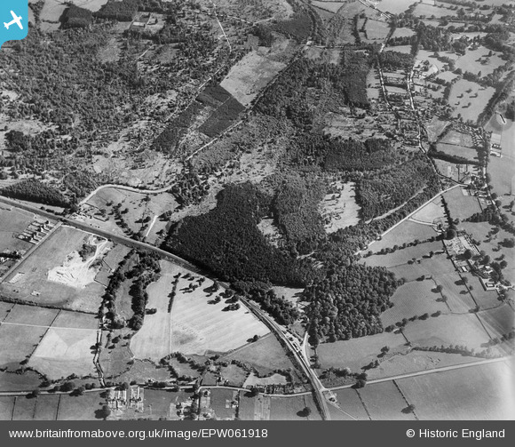
EPW061918 ENGLAND (1939). The Chase, Broad Layings, 1939
© Hawlfraint cyfranwyr OpenStreetMap a thrwyddedwyd gan yr OpenStreetMap Foundation. 2026. Trwyddedir y gartograffeg fel CC BY-SA.
Delweddau cyfagos (6)
EPW061918

EPW061921

EPW061915

EPW061919

EPW061917

EPW061916

Manylion
| Pennawd | [EPW061918] The Chase, Broad Layings, 1939 |
| Cyfeirnod | EPW061918 |
| Dyddiad | 10-June-1939 |
| Dolen | |
| Enw lle | BROAD LAYINGS |
| Plwyf | EAST WOODHAY |
| Ardal | |
| Gwlad | ENGLAND |
| Dwyreiniad / Gogleddiad | 444310, 162826 |
| Hydred / Lledred | -1.3634970759381, 51.362271262486 |
| Cyfeirnod Grid Cenedlaethol | SU443628 |
Pinnau

John W |
Saturday 13th of August 2016 06:36:33 PM | |
Woodhay station. Opened 4 May 1885, closed 7 March 1960 (Pass), 31 Dec 1962 (Goods). Also closed 4 Aug 1942 to 8 Mar 1943. The only station on the DNS with wooden buildings. |
gBr |
Sunday 14th of August 2016 10:05:10 PM |