
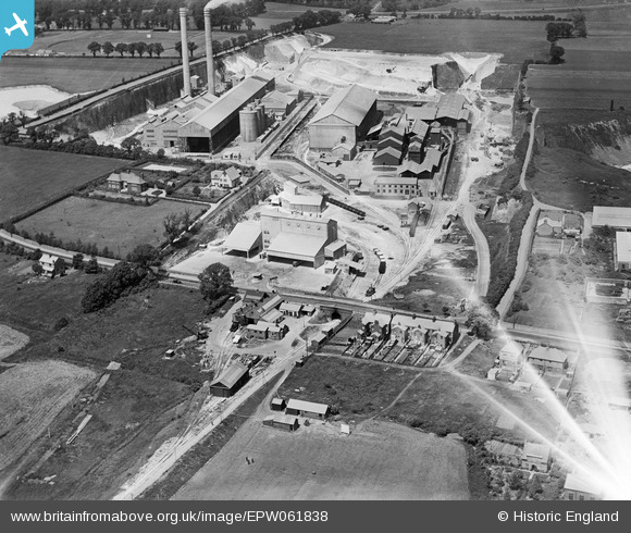
EPW061838 ENGLAND (1939). The Metropolitan Portland Cement Works and the Fondu Aluminous Cement Works, West Thurrock, 1939. This image has been affected by flare.
© Hawlfraint cyfranwyr OpenStreetMap a thrwyddedwyd gan yr OpenStreetMap Foundation. 2026. Trwyddedir y gartograffeg fel CC BY-SA.
Delweddau cyfagos (25)
EPW061838

EAW021518

EPW061841

EAW041087

EAW041092

EAW021522

EPW061839

EPW061840

EPW026638

EPW026642

EPW026637

EAW041095

EAW021516

EAW021519
, West Thurrock, 1949. This image has been produced from a damaged negative.")
EPW061842

EPW061843

EAW041089

EPW027529

EAW021512

EAW021513

EAW021517

EPW027526

EAW021515

EPW039475

EPW046463

Manylion
| Pennawd | [EPW061838] The Metropolitan Portland Cement Works and the Fondu Aluminous Cement Works, West Thurrock, 1939. This image has been affected by flare. |
| Cyfeirnod | EPW061838 |
| Dyddiad | 10-June-1939 |
| Dolen | |
| Enw lle | WEST THURROCK |
| Plwyf | |
| Ardal | |
| Gwlad | ENGLAND |
| Dwyreiniad / Gogleddiad | 557372, 177812 |
| Hydred / Lledred | 0.26639409833049, 51.476860712206 |
| Cyfeirnod Grid Cenedlaethol | TQ574778 |
Pinnau
Byddwch y cyntaf i ychwanegu sylw at y ddelwedd hon!