
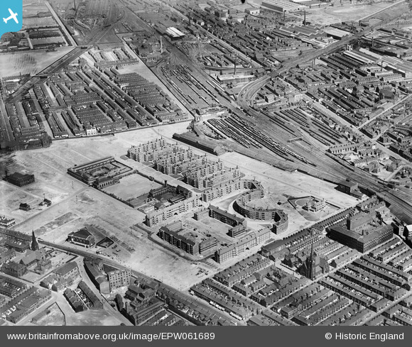
EPW061689 ENGLAND (1939). The Corporation flats and the surrounding area, Collyhurst, 1939
© Hawlfraint cyfranwyr OpenStreetMap a thrwyddedwyd gan yr OpenStreetMap Foundation. 2026. Trwyddedir y gartograffeg fel CC BY-SA.
Delweddau cyfagos (6)
EPW061689

EPW061690

EPW061686

EPW061688

EPW061685

EPW061687

Manylion
| Pennawd | [EPW061689] The Corporation flats and the surrounding area, Collyhurst, 1939 |
| Cyfeirnod | EPW061689 |
| Dyddiad | 4-June-1939 |
| Dolen | |
| Enw lle | COLLYHURST |
| Plwyf | |
| Ardal | |
| Gwlad | ENGLAND |
| Dwyreiniad / Gogleddiad | 385719, 400074 |
| Hydred / Lledred | -2.2152994455391, 53.49692330874 |
| Cyfeirnod Grid Cenedlaethol | SD857001 |
Pinnau

Barney Rubble |
Friday 19th of September 2025 10:02:24 AM | |
|
Barney Rubble |
Friday 19th of September 2025 09:59:40 AM | |
|
Barney Rubble |
Monday 23rd of June 2025 03:44:09 PM | |
|
NumberThirt13n |
Thursday 25th of August 2016 10:17:32 PM | |
|
chadders47 |
Monday 9th of May 2016 03:40:53 PM | |
|
chadders47 |
Monday 9th of May 2016 03:38:53 PM | |
|
chadders47 |
Monday 9th of May 2016 03:35:44 PM | |
|
chadders47 |
Monday 9th of May 2016 03:35:02 PM | |
|
chadders47 |
Monday 9th of May 2016 03:33:23 PM | |
|
chadders47 |
Monday 9th of May 2016 03:31:55 PM |
Cyfraniadau Grŵp
This photograph also includes Miles Platting west of Queens Road and south of Oldham Road. Newton Heath is at the top of the photograph. |
chadders47 |
Monday 9th of May 2016 03:47:53 PM |