
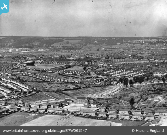
EPW061547 ENGLAND (1939). A cityscape from Lower Knowle towards Clifton, Bristol, from the south-east, 1939. This image has been produced from a print.
© Hawlfraint cyfranwyr OpenStreetMap a thrwyddedwyd gan yr OpenStreetMap Foundation. 2026. Trwyddedir y gartograffeg fel CC BY-SA.
Delweddau cyfagos (2)
EPW061547

EPW041483

Manylion
| Pennawd | [EPW061547] A cityscape from Lower Knowle towards Clifton, Bristol, from the south-east, 1939. This image has been produced from a print. |
| Cyfeirnod | EPW061547 |
| Dyddiad | 5-June-1939 |
| Dolen | |
| Enw lle | BRISTOL |
| Plwyf | |
| Ardal | |
| Gwlad | ENGLAND |
| Dwyreiniad / Gogleddiad | 359542, 170368 |
| Hydred / Lledred | -2.5820330836733, 51.430377968573 |
| Cyfeirnod Grid Cenedlaethol | ST595704 |
Pinnau

raerae |
Tuesday 5th of July 2016 10:02:19 PM |