
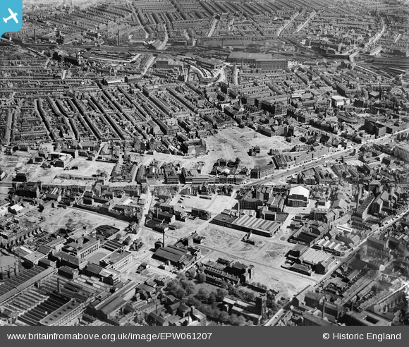
EPW061207 ENGLAND (1939). Belgrave Gate and environs, Leicester, 1939
© Hawlfraint cyfranwyr OpenStreetMap a thrwyddedwyd gan yr OpenStreetMap Foundation. 2026. Trwyddedir y gartograffeg fel CC BY-SA.
Delweddau cyfagos (19)
EPW061207

EPW055007

EAW010035

EAW051833

EAW010031

EAW010038

EAW011750

EAW010033

EAW011746

EAW010034

EAW011747

EAW011749

EAW011751

EAW051826

EAW011748

EAW011745

EAW011744

EAW051831

EAW010037

Manylion
| Pennawd | [EPW061207] Belgrave Gate and environs, Leicester, 1939 |
| Cyfeirnod | EPW061207 |
| Dyddiad | 30-May-1939 |
| Dolen | |
| Enw lle | LEICESTER |
| Plwyf | |
| Ardal | |
| Gwlad | ENGLAND |
| Dwyreiniad / Gogleddiad | 459008, 304945 |
| Hydred / Lledred | -1.127901293948, 52.638687497839 |
| Cyfeirnod Grid Cenedlaethol | SK590049 |
Pinnau

neil |
Friday 14th of January 2022 07:49:47 PM | |
|
popstar |
Tuesday 18th of August 2020 10:17:39 PM | |
|
popstar |
Tuesday 18th of August 2020 10:12:24 PM | |
|
popstar |
Tuesday 18th of August 2020 10:08:18 PM | |
|
popstar |
Tuesday 18th of August 2020 10:06:07 PM | |
|
popstar |
Tuesday 18th of August 2020 10:04:11 PM | |
|
popstar |
Tuesday 18th of August 2020 10:02:19 PM | |
|
rroger156 |
Wednesday 8th of January 2014 04:16:25 PM | |
|
rroger156 |
Wednesday 8th of January 2014 04:13:08 PM | |
|
rroger156 |
Wednesday 8th of January 2014 04:12:03 PM | |
|
JonB |
Monday 9th of September 2013 10:19:43 PM | |
|
JonB |
Monday 9th of September 2013 10:13:35 PM |
