
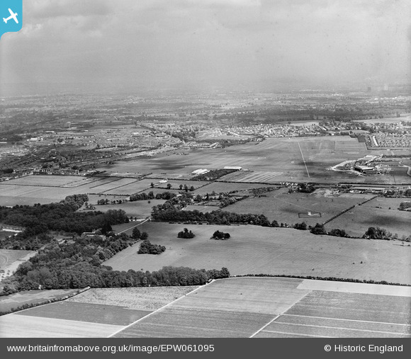
EPW061095 ENGLAND (1939). Heston Airport, Heston, from the west, 1939
© Hawlfraint cyfranwyr OpenStreetMap a thrwyddedwyd gan yr OpenStreetMap Foundation. 2026. Trwyddedir y gartograffeg fel CC BY-SA.
Delweddau cyfagos (4)
EPW061095

EPW060379

EPW031237

EPW061094

Manylion
| Pennawd | [EPW061095] Heston Airport, Heston, from the west, 1939 |
| Cyfeirnod | EPW061095 |
| Dyddiad | 20-May-1939 |
| Dolen | |
| Enw lle | HESTON |
| Plwyf | |
| Ardal | |
| Gwlad | ENGLAND |
| Dwyreiniad / Gogleddiad | 510576, 177993 |
| Hydred / Lledred | -0.40714289199087, 51.489574290159 |
| Cyfeirnod Grid Cenedlaethol | TQ106780 |
Pinnau

brianbeckett |
Monday 13th of October 2014 12:46:16 PM | |
|
brianbeckett |
Monday 13th of October 2014 12:45:32 PM | |

Class31 |
Monday 21st of October 2013 09:16:32 AM | |
|
Class31 |
Monday 21st of October 2013 09:16:06 AM |