
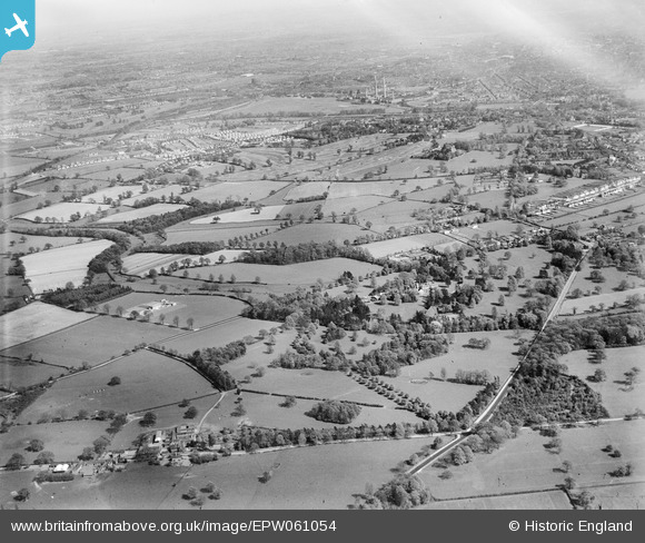
EPW061054 ENGLAND (1939). Wergs Hall and surrounding countryside, Codsall, from the north-west, 1939
© Hawlfraint cyfranwyr OpenStreetMap a thrwyddedwyd gan yr OpenStreetMap Foundation. 2026. Trwyddedir y gartograffeg fel CC BY-SA.
Delweddau cyfagos (3)
EPW061054

EPW061048

EPW061053

Manylion
| Pennawd | [EPW061054] Wergs Hall and surrounding countryside, Codsall, from the north-west, 1939 |
| Cyfeirnod | EPW061054 |
| Dyddiad | 10-May-1939 |
| Dolen | |
| Enw lle | CODSALL |
| Plwyf | CODSALL |
| Ardal | |
| Gwlad | ENGLAND |
| Dwyreiniad / Gogleddiad | 387051, 301556 |
| Hydred / Lledred | -2.1912561539176, 52.611272613371 |
| Cyfeirnod Grid Cenedlaethol | SJ871016 |
Pinnau

RFD W'ton |
Thursday 14th of April 2022 09:49:24 PM | |
|
totoro |
Friday 20th of June 2014 08:31:33 PM | |
|
totoro |
Friday 20th of June 2014 08:30:40 PM | |
|
totoro |
Friday 20th of June 2014 08:29:46 PM | |
|
totoro |
Friday 20th of June 2014 08:27:45 PM | |
|
totoro |
Friday 20th of June 2014 08:26:39 PM | |
|
totoro |
Friday 20th of June 2014 08:25:25 PM | |
|
totoro |
Friday 20th of June 2014 08:21:33 PM |