
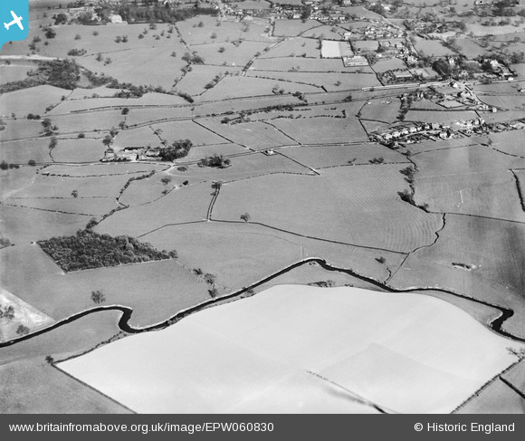
EPW060830 ENGLAND (1939). Fields around Brook House and the River Trent, Barlaston, 1939
© Hawlfraint cyfranwyr OpenStreetMap a thrwyddedwyd gan yr OpenStreetMap Foundation. 2026. Trwyddedir y gartograffeg fel CC BY-SA.
Delweddau cyfagos (7)
EPW060830

EPW060832

EPW060837

EPW060836

EPW060834

EPW060833

EPW060835

Manylion
| Pennawd | [EPW060830] Fields around Brook House and the River Trent, Barlaston, 1939 |
| Cyfeirnod | EPW060830 |
| Dyddiad | April-1939 |
| Dolen | |
| Enw lle | BARLASTON |
| Plwyf | BARLASTON |
| Ardal | |
| Gwlad | ENGLAND |
| Dwyreiniad / Gogleddiad | 388150, 338768 |
| Hydred / Lledred | -2.1763712991537, 52.945852611026 |
| Cyfeirnod Grid Cenedlaethol | SJ882388 |
Pinnau

Charles |
Sunday 13th of February 2022 12:51:30 PM | |
|
Charles |
Sunday 13th of February 2022 12:47:13 PM | |
|
Charles |
Sunday 13th of February 2022 12:45:57 PM | |

bescotbeast |
Tuesday 10th of December 2013 08:58:33 PM | |
|
Shemeatra |
Wednesday 16th of October 2013 07:56:07 PM | |
|
Shemeatra |
Wednesday 16th of October 2013 07:54:58 PM |