
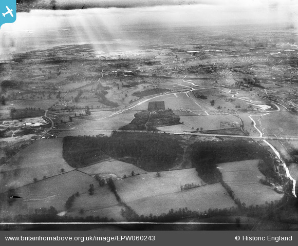
EPW060243 ENGLAND (1938). Berrygrove, High Wood and environs, Aldenham, from the north-east, 1938. This image has been produced from a damaged negative.
© Hawlfraint cyfranwyr OpenStreetMap a thrwyddedwyd gan yr OpenStreetMap Foundation. 2026. Trwyddedir y gartograffeg fel CC BY-SA.
Delweddau cyfagos (2)
EPW060243

EPW060244

Manylion
| Pennawd | [EPW060243] Berrygrove, High Wood and environs, Aldenham, from the north-east, 1938. This image has been produced from a damaged negative. |
| Cyfeirnod | EPW060243 |
| Dyddiad | 15-December-1938 |
| Dolen | |
| Enw lle | ALDENHAM |
| Plwyf | ALDENHAM |
| Ardal | |
| Gwlad | ENGLAND |
| Dwyreiniad / Gogleddiad | 513128, 198441 |
| Hydred / Lledred | -0.36380769645197, 51.672870871752 |
| Cyfeirnod Grid Cenedlaethol | TQ131984 |
Pinnau

OldBill |
Thursday 27th of April 2023 08:35:35 PM | |
|
OldBill |
Thursday 27th of April 2023 08:34:04 PM | |
|
OldBill |
Thursday 27th of April 2023 08:33:46 PM | |
|
OldBill |
Thursday 27th of April 2023 08:32:59 PM | |
|
OldBill |
Thursday 27th of April 2023 08:32:26 PM | |
|
OldBill |
Tuesday 4th of September 2018 08:13:44 PM | |
|
Bluid |
Friday 28th of February 2014 10:44:04 AM |