
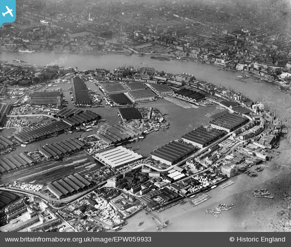
EPW059933 ENGLAND (1938). Surrey Commercial Docks, Rotherhithe, 1938
© Hawlfraint cyfranwyr OpenStreetMap a thrwyddedwyd gan yr OpenStreetMap Foundation. 2026. Trwyddedir y gartograffeg fel CC BY-SA.
Delweddau cyfagos (4)
EPW059933

EPW062041

EAW043643

EPW009100

Manylion
| Pennawd | [EPW059933] Surrey Commercial Docks, Rotherhithe, 1938 |
| Cyfeirnod | EPW059933 |
| Dyddiad | 15-October-1938 |
| Dolen | |
| Enw lle | ROTHERHITHE |
| Plwyf | |
| Ardal | |
| Gwlad | ENGLAND |
| Dwyreiniad / Gogleddiad | 536196, 180088 |
| Hydred / Lledred | -0.037486660412022, 51.50281153474 |
| Cyfeirnod Grid Cenedlaethol | TQ362801 |
Pinnau

Mickey Kelly |
Monday 13th of July 2026 12:14:10 PM | |
|
@JohnSouthsea |
Tuesday 12th of April 2022 05:54:31 PM | |
|
Kentishman |
Monday 20th of September 2021 11:23:53 AM | |

Class31 |
Saturday 15th of November 2014 11:03:30 AM |

Cyfraniadau Grŵp
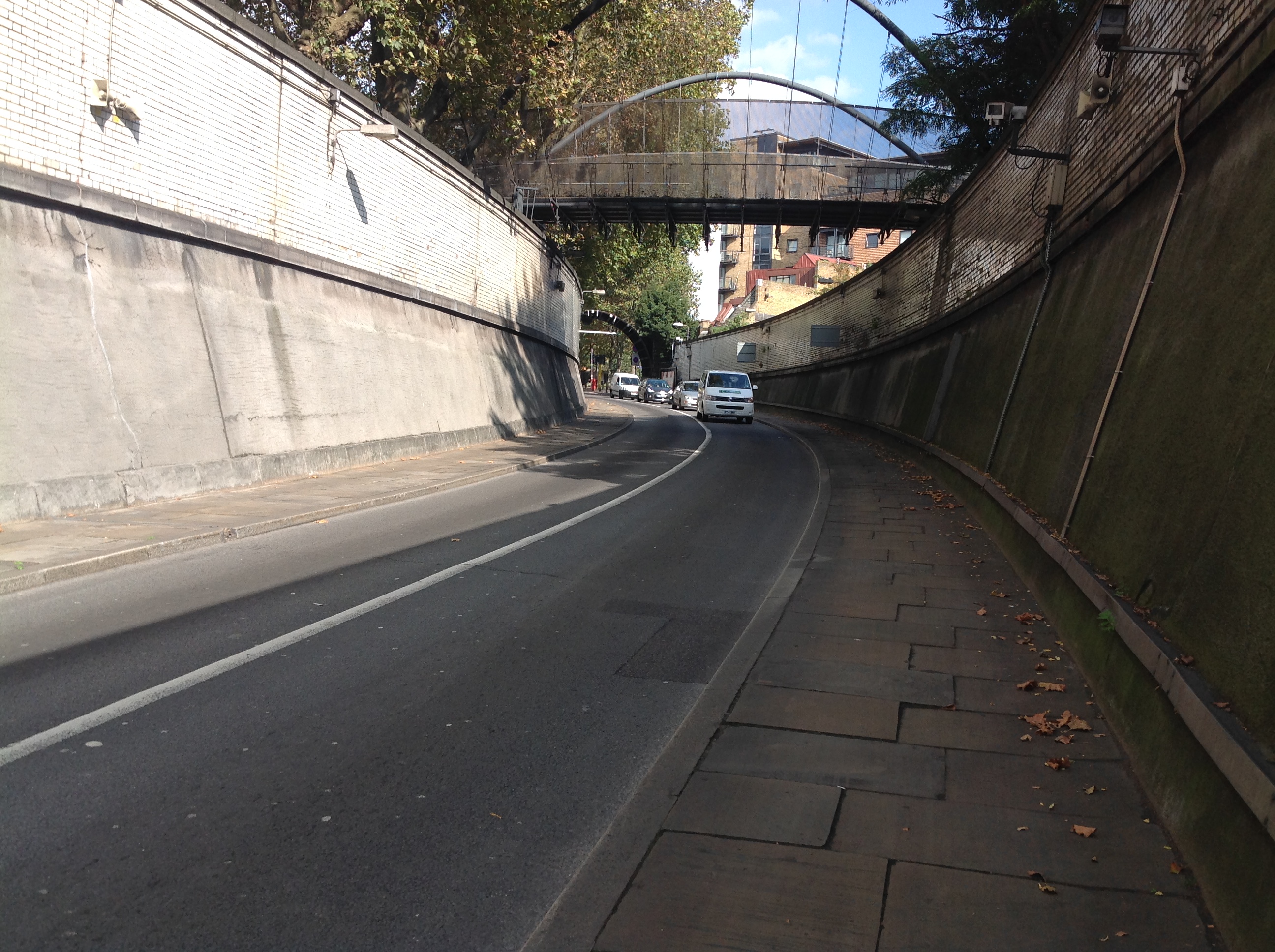
Rotherhithe Tunnel, 30/09/2014 |
Class31 |
Saturday 15th of November 2014 11:04:13 AM |