
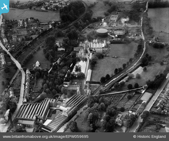
EPW059695 ENGLAND (1938). Fromehall and Lodgemore Woollen Mills and environs, Stroud, 1938
© Hawlfraint cyfranwyr OpenStreetMap a thrwyddedwyd gan yr OpenStreetMap Foundation. 2026. Trwyddedir y gartograffeg fel CC BY-SA.
Delweddau cyfagos (11)
EPW059695

EPW059696

EPW059693

EPW059689

EPW059688

EPW059692

EPW059694

EPW058649

EPW058652

EPW058651

EPW059690

Manylion
| Pennawd | [EPW059695] Fromehall and Lodgemore Woollen Mills and environs, Stroud, 1938 |
| Cyfeirnod | EPW059695 |
| Dyddiad | 29-September-1938 |
| Dolen | |
| Enw lle | STROUD |
| Plwyf | STROUD |
| Ardal | |
| Gwlad | ENGLAND |
| Dwyreiniad / Gogleddiad | 384246, 204959 |
| Hydred / Lledred | -2.2281970468068, 51.742656449103 |
| Cyfeirnod Grid Cenedlaethol | SO842050 |
Pinnau

Rdt |
Monday 18th of September 2017 11:17:05 PM | |
|
Robert |
Friday 22nd of January 2016 10:59:52 AM | |
|
Robert |
Friday 22nd of January 2016 10:58:31 AM | |
|
Robert |
Friday 22nd of January 2016 10:56:07 AM | |
|
Robert |
Friday 22nd of January 2016 10:52:50 AM | |
|
Robert |
Friday 22nd of January 2016 10:50:30 AM | |
|
Robert |
Friday 22nd of January 2016 10:48:59 AM | |
|
Robert |
Friday 22nd of January 2016 10:47:44 AM | |
|
Robert |
Friday 22nd of January 2016 10:46:06 AM |
Cyfraniadau Grŵp
Lodgemore swing bridge being removed in November 2015 for replacement by hydraulic lift bridge |
Robert |
Friday 22nd of January 2016 11:09:00 AM |