
EPW059591 ENGLAND (1938). The Manor Hotel Tennis Courts and the surrounding residential area, Burnham-on-Sea, 1938. This image has been affected by flare.

© Hawlfraint cyfranwyr OpenStreetMap a thrwyddedwyd gan yr OpenStreetMap Foundation. 2026. Trwyddedir y gartograffeg fel CC BY-SA.
Delweddau cyfagos (10)
EPW059591

EPW059593

EPW059592

EPW059587

EPW059586

EPW059589

EPW059585

EPW059584

EPW059590

EAW049746

Manylion
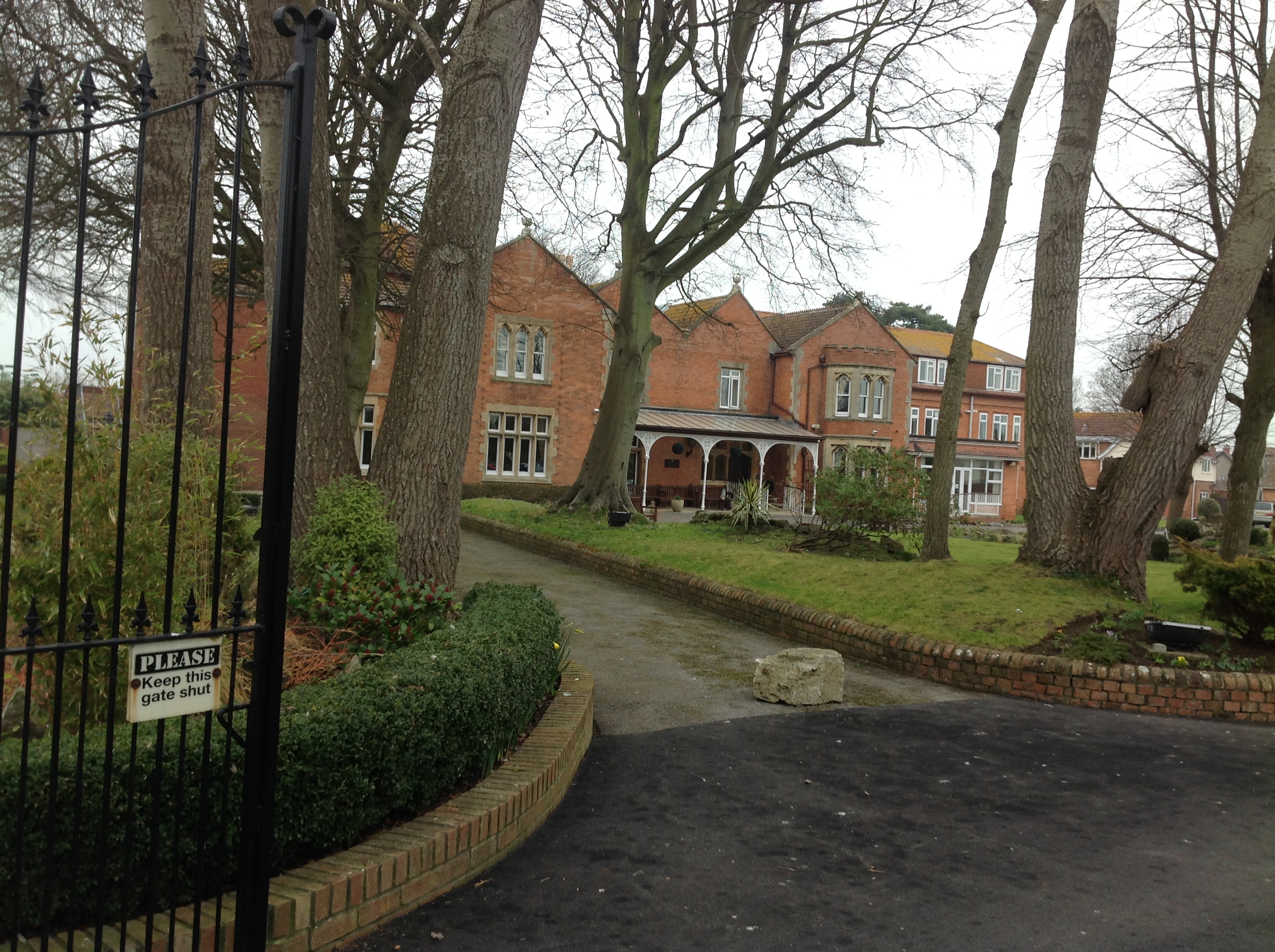
| Pennawd | [EPW059591] The Manor Hotel Tennis Courts and the surrounding residential area, Burnham-on-Sea, 1938. This image has been affected by flare. |
| Cyfeirnod | EPW059591 |
| Dyddiad | 24-September-1938 |
| Dolen | |
| Enw lle | BURNHAM-ON-SEA |
| Plwyf | BURNHAM-ON-SEA AND HIGHBRIDGE |
| Ardal | |
| Gwlad | ENGLAND |
| Dwyreiniad / Gogleddiad | 330629, 150067 |
| Hydred / Lledred | -2.9939692626184, 51.245040884584 |
| Cyfeirnod Grid Cenedlaethol | ST306501 |
Pinnau


Cyfraniadau Grŵp
Beaufort House, Burnham-on-Sea, 10/02/2015 |

Class31 |
Wednesday 11th of February 2015 09:43:11 AM |