
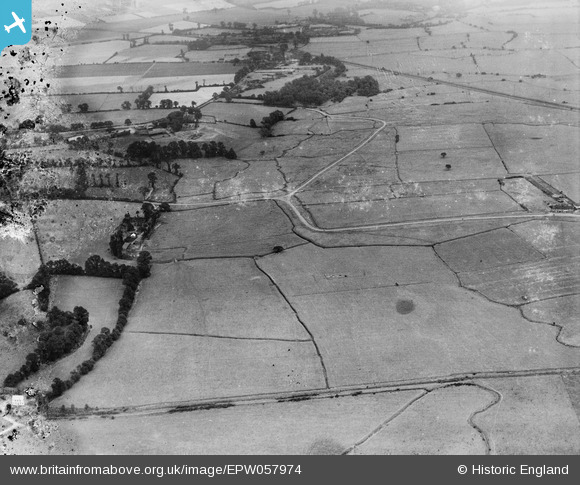
EPW057974 ENGLAND (1938). Fort Road Common, Hallhill Common and environs, West Tilbury, 1938. This image has been produced from a damaged negative.
© Hawlfraint cyfranwyr OpenStreetMap a thrwyddedwyd gan yr OpenStreetMap Foundation. 2026. Trwyddedir y gartograffeg fel CC BY-SA.
Delweddau cyfagos (2)
EPW057974

EPW057976

Manylion
| Pennawd | [EPW057974] Fort Road Common, Hallhill Common and environs, West Tilbury, 1938. This image has been produced from a damaged negative. |
| Cyfeirnod | EPW057974 |
| Dyddiad | 17-July-1938 |
| Dolen | |
| Enw lle | WEST TILBURY |
| Plwyf | |
| Ardal | |
| Gwlad | ENGLAND |
| Dwyreiniad / Gogleddiad | 565590, 177473 |
| Hydred / Lledred | 0.38447931576407, 51.471468899784 |
| Cyfeirnod Grid Cenedlaethol | TQ656775 |
Pinnau

C.Coles |
Tuesday 24th of February 2015 10:54:12 PM | |
|
BigglesH |
Tuesday 15th of October 2013 03:12:01 AM | |
|
BigglesH |
Tuesday 15th of October 2013 03:11:08 AM | |
|
BigglesH |
Tuesday 15th of October 2013 03:09:19 AM | |
|
BigglesH |
Tuesday 15th of October 2013 03:06:00 AM |