
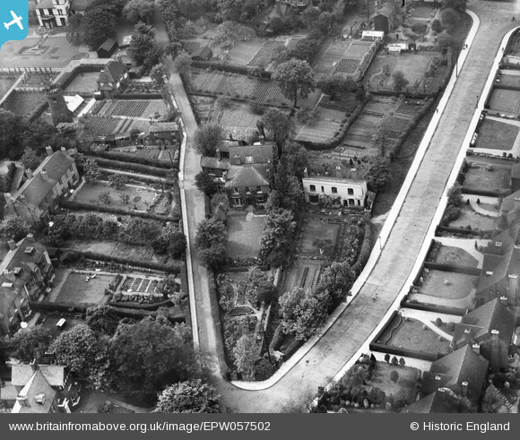
EPW057502 ENGLAND (1938). Houses at the junction of Highgate Road and Highgate Avenue, Walsall, 1938
© Hawlfraint cyfranwyr OpenStreetMap a thrwyddedwyd gan yr OpenStreetMap Foundation. 2026. Trwyddedir y gartograffeg fel CC BY-SA.
Delweddau cyfagos (6)
EPW057502

EPW057501

EPW057500

EPW057503

EPW005777

EPW022575

Manylion
| Pennawd | [EPW057502] Houses at the junction of Highgate Road and Highgate Avenue, Walsall, 1938 |
| Cyfeirnod | EPW057502 |
| Dyddiad | 9-June-1938 |
| Dolen | |
| Enw lle | WALSALL |
| Plwyf | |
| Ardal | |
| Gwlad | ENGLAND |
| Dwyreiniad / Gogleddiad | 401778, 297546 |
| Hydred / Lledred | -1.9737604870134, 52.575370845165 |
| Cyfeirnod Grid Cenedlaethol | SP018975 |
Pinnau
Byddwch y cyntaf i ychwanegu sylw at y ddelwedd hon!