
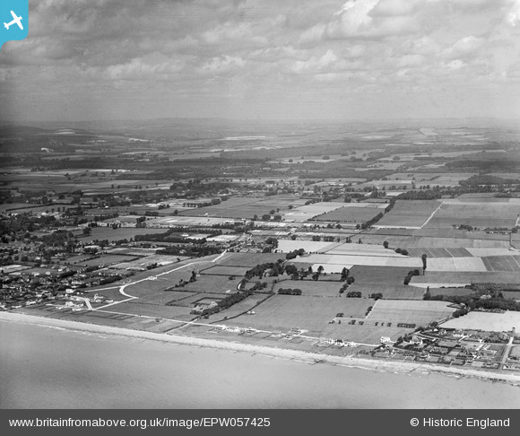
EPW057425 ENGLAND (1938). The site of the residential area off Golden Avenue, Kingston Manor and the surrounding countryside, East Kingston, from the south-east, 1938
© Hawlfraint cyfranwyr OpenStreetMap a thrwyddedwyd gan yr OpenStreetMap Foundation. 2026. Trwyddedir y gartograffeg fel CC BY-SA.
Delweddau cyfagos (5)
EPW057425

EPW057426

EPW057423

EPW057429

EPW057431

Manylion
| Pennawd | [EPW057425] The site of the residential area off Golden Avenue, Kingston Manor and the surrounding countryside, East Kingston, from the south-east, 1938 |
| Cyfeirnod | EPW057425 |
| Dyddiad | 3-June-1938 |
| Dolen | |
| Enw lle | EAST KINGSTON |
| Plwyf | KINGSTON |
| Ardal | |
| Gwlad | ENGLAND |
| Dwyreiniad / Gogleddiad | 508063, 101896 |
| Hydred / Lledred | -0.46617814127337, 50.805965313406 |
| Cyfeirnod Grid Cenedlaethol | TQ081019 |
Pinnau
Byddwch y cyntaf i ychwanegu sylw at y ddelwedd hon!