
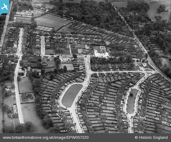
EPW057220 ENGLAND (1938). Shirley Avenue, Barnfield Avenue and environs, Shirley, 1938
© Hawlfraint cyfranwyr OpenStreetMap a thrwyddedwyd gan yr OpenStreetMap Foundation. 2026. Trwyddedir y gartograffeg fel CC BY-SA.
Delweddau cyfagos (9)
EPW057220

EPW057222

EPW057224

EPW057221

EPW057223

EPW057226

EPW057225

EPW057218

EPW057219

Manylion
| Pennawd | [EPW057220] Shirley Avenue, Barnfield Avenue and environs, Shirley, 1938 |
| Cyfeirnod | EPW057220 |
| Dyddiad | 26-May-1938 |
| Dolen | |
| Enw lle | SHIRLEY |
| Plwyf | |
| Ardal | |
| Gwlad | ENGLAND |
| Dwyreiniad / Gogleddiad | 535566, 165742 |
| Hydred / Lledred | -0.052053157992886, 51.374029999124 |
| Cyfeirnod Grid Cenedlaethol | TQ356657 |
Pinnau

Paul Wendon |
Tuesday 16th of February 2021 09:35:36 PM | |
|
Paul Wendon |
Tuesday 16th of February 2021 09:21:09 PM | |
|
Paul Wendon |
Tuesday 16th of February 2021 09:18:18 PM | |
|
Paul Wendon |
Tuesday 16th of February 2021 09:17:51 PM | |
|
Paul Wendon |
Tuesday 16th of February 2021 09:16:31 PM | |
|
Paul Wendon |
Tuesday 16th of February 2021 09:16:06 PM | |
|
Paul Wendon |
Tuesday 16th of February 2021 09:15:21 PM | |
|
Paul Wendon |
Tuesday 16th of February 2021 09:14:58 PM | |
|
Paul Wendon |
Tuesday 16th of February 2021 09:14:27 PM | |
|
Paul Wendon |
Tuesday 16th of February 2021 09:13:54 PM | |
|
Paul Wendon |
Tuesday 16th of February 2021 09:12:00 PM |