
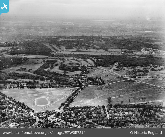
EPW057214 ENGLAND (1938). Coombe Hill Golf Course, the Royal Wimbledon Golf Course and Wimbledon Common, Wimbledon, from the east, 1938
© Hawlfraint cyfranwyr OpenStreetMap a thrwyddedwyd gan yr OpenStreetMap Foundation. 2026. Trwyddedir y gartograffeg fel CC BY-SA.
Delweddau cyfagos (2)
EPW057214

EAW014204

Manylion
| Pennawd | [EPW057214] Coombe Hill Golf Course, the Royal Wimbledon Golf Course and Wimbledon Common, Wimbledon, from the east, 1938 |
| Cyfeirnod | EPW057214 |
| Dyddiad | 26-May-1938 |
| Dolen | |
| Enw lle | WIMBLEDON |
| Plwyf | |
| Ardal | |
| Gwlad | ENGLAND |
| Dwyreiniad / Gogleddiad | 523189, 171207 |
| Hydred / Lledred | -0.22790454185217, 51.425972324087 |
| Cyfeirnod Grid Cenedlaethol | TQ232712 |
