
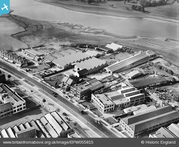
EPW055815 ENGLAND (1937). Industrial units including the Clayton Mayers and Co Glassware Works alongside the North Circular Road and the Brent Reservoir, Dollis Hill, 1937
© Hawlfraint cyfranwyr OpenStreetMap a thrwyddedwyd gan yr OpenStreetMap Foundation. 2026. Trwyddedir y gartograffeg fel CC BY-SA.
Delweddau cyfagos (11)
EPW055815

EPW055813

EPW055814

EPW055818

EPW055817

EPW055819

EPW055816

EPW032178

EPW055758

EPW055757

EPW025414

Manylion
| Pennawd | [EPW055815] Industrial units including the Clayton Mayers and Co Glassware Works alongside the North Circular Road and the Brent Reservoir, Dollis Hill, 1937 |
| Cyfeirnod | EPW055815 |
| Dyddiad | 15-October-1937 |
| Dolen | |
| Enw lle | DOLLIS HILL |
| Plwyf | |
| Ardal | |
| Gwlad | ENGLAND |
| Dwyreiniad / Gogleddiad | 521991, 187083 |
| Hydred / Lledred | -0.2396391050618, 51.56892938221 |
| Cyfeirnod Grid Cenedlaethol | TQ220871 |
Pinnau
Byddwch y cyntaf i ychwanegu sylw at y ddelwedd hon!