
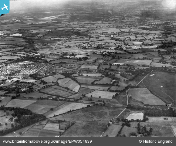
EPW054839 ENGLAND (1937). The Queen Elizabeth Park and Johnston Green areas before development, Guildford, from the north-east, 1937. This image has been produced from a print.
© Hawlfraint cyfranwyr OpenStreetMap a thrwyddedwyd gan yr OpenStreetMap Foundation. 2025. Trwyddedir y gartograffeg fel CC BY-SA.
Delweddau cyfagos (2)
EPW054839

EPW054840

Manylion
| Pennawd | [EPW054839] The Queen Elizabeth Park and Johnston Green areas before development, Guildford, from the north-east, 1937. This image has been produced from a print. |
| Cyfeirnod | EPW054839 |
| Dyddiad | 16-August-1937 |
| Dolen | |
| Enw lle | GUILDFORD |
| Plwyf | |
| Ardal | |
| Gwlad | ENGLAND |
| Dwyreiniad / Gogleddiad | 498910, 152724 |
| Hydred / Lledred | -0.58217030630411, 51.264569449525 |
| Cyfeirnod Grid Cenedlaethol | SU989527 |
Pinnau
Byddwch y cyntaf i ychwanegu sylw at y ddelwedd hon!