
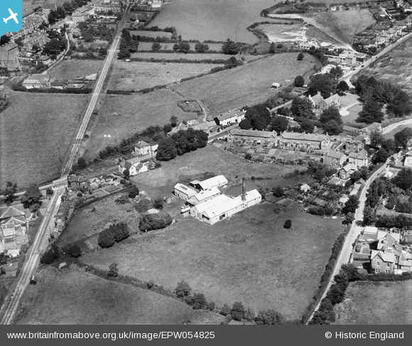
EPW054825 ENGLAND (1937). Milk Factory at the site of Asker Mills, Bridport, 1937
© Hawlfraint cyfranwyr OpenStreetMap a thrwyddedwyd gan yr OpenStreetMap Foundation. 2026. Trwyddedir y gartograffeg fel CC BY-SA.
Delweddau cyfagos (6)
EPW054825

EPW054822

EPW054823

EPW054827

EPW054824

EPW054826

Manylion
| Pennawd | [EPW054825] Milk Factory at the site of Asker Mills, Bridport, 1937 |
| Cyfeirnod | EPW054825 |
| Dyddiad | August-1937 |
| Dolen | |
| Enw lle | BRIDPORT |
| Plwyf | BRIDPORT |
| Ardal | |
| Gwlad | ENGLAND |
| Dwyreiniad / Gogleddiad | 347229, 92827 |
| Hydred / Lledred | -2.7478271963158, 50.732087077953 |
| Cyfeirnod Grid Cenedlaethol | SY472928 |
Pinnau

vof |
Saturday 24th of August 2013 12:17:01 AM | |
|
vof |
Saturday 24th of August 2013 12:15:51 AM | |
|
vof |
Saturday 24th of August 2013 12:05:23 AM | |
|
vof |
Saturday 24th of August 2013 12:01:43 AM | |
|
vof |
Saturday 24th of August 2013 12:00:16 AM |