
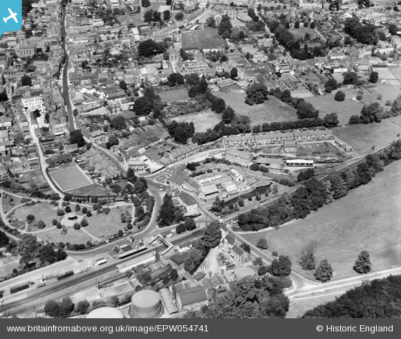
EPW054741 ENGLAND (1937). Ludbourne Road, South Street and the town, Sherborne, 1937
© Hawlfraint cyfranwyr OpenStreetMap a thrwyddedwyd gan yr OpenStreetMap Foundation. 2026. Trwyddedir y gartograffeg fel CC BY-SA.
Delweddau cyfagos (10)
EPW054741

EPW054742

EPW054745

EPW054746

EPW054744

EPW054743

EPW054748

EPW011722

EPW011721

EAW033659

Manylion
| Pennawd | [EPW054741] Ludbourne Road, South Street and the town, Sherborne, 1937 |
| Cyfeirnod | EPW054741 |
| Dyddiad | August-1937 |
| Dolen | |
| Enw lle | SHERBORNE |
| Plwyf | SHERBORNE |
| Ardal | |
| Gwlad | ENGLAND |
| Dwyreiniad / Gogleddiad | 364077, 116346 |
| Hydred / Lledred | -2.5113902047076, 50.94488411948 |
| Cyfeirnod Grid Cenedlaethol | ST641163 |
Pinnau

Tim Hale |
Monday 8th of June 2015 12:51:33 PM | |
|
Tim Hale |
Monday 8th of June 2015 12:50:16 PM | |
|
Tim Hale |
Monday 8th of June 2015 12:49:13 PM | |
|
MB |
Wednesday 31st of July 2013 12:08:38 AM | |
|
MB |
Wednesday 31st of July 2013 12:08:10 AM | |
|
MB |
Wednesday 31st of July 2013 12:07:43 AM | |
|
MB |
Wednesday 31st of July 2013 12:06:56 AM | |
|
MB |
Wednesday 31st of July 2013 12:06:28 AM |