
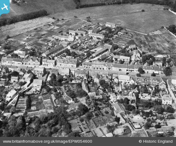
EPW054600 ENGLAND (1937). Corn Street, Witney, 1937. This image has been produced from a copy-negative.
© Hawlfraint cyfranwyr OpenStreetMap a thrwyddedwyd gan yr OpenStreetMap Foundation. 2026. Trwyddedir y gartograffeg fel CC BY-SA.
Delweddau cyfagos (2)
EPW054600

EPW038400

Manylion
| Pennawd | [EPW054600] Corn Street, Witney, 1937. This image has been produced from a copy-negative. |
| Cyfeirnod | EPW054600 |
| Dyddiad | 3-August-1937 |
| Dolen | |
| Enw lle | WITNEY |
| Plwyf | WITNEY |
| Ardal | |
| Gwlad | ENGLAND |
| Dwyreiniad / Gogleddiad | 435190, 209651 |
| Hydred / Lledred | -1.4898054164955, 51.783961994471 |
| Cyfeirnod Grid Cenedlaethol | SP352097 |
Pinnau

robert willis |
Saturday 25th of January 2020 02:53:42 PM |