
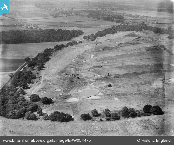
EPW054475 ENGLAND (1937). The Warren Golf Course, Branton, 1937
© Hawlfraint cyfranwyr OpenStreetMap a thrwyddedwyd gan yr OpenStreetMap Foundation. 2026. Trwyddedir y gartograffeg fel CC BY-SA.
Delweddau cyfagos (2)
EPW054475

EPW054479

Manylion
| Pennawd | [EPW054475] The Warren Golf Course, Branton, 1937 |
| Cyfeirnod | EPW054475 |
| Dyddiad | 30-July-1937 |
| Dolen | |
| Enw lle | BRANTON |
| Plwyf | CANTLEY |
| Ardal | |
| Gwlad | ENGLAND |
| Dwyreiniad / Gogleddiad | 462163, 399658 |
| Hydred / Lledred | -1.0629821868328, 53.489704760243 |
| Cyfeirnod Grid Cenedlaethol | SK622997 |
Pinnau

DaveJ |
Thursday 18th of January 2024 01:57:38 PM | |
|
DaveJ |
Thursday 18th of January 2024 01:52:10 PM | |
|
DaveJ |
Thursday 18th of January 2024 01:48:54 PM | |
|
DaveJ |
Thursday 18th of January 2024 01:47:37 PM | |
|
DaveJ |
Thursday 18th of January 2024 01:46:21 PM | |
|
DaveJ |
Thursday 18th of January 2024 01:37:05 PM | |
|
DaveJ |
Thursday 18th of January 2024 05:39:04 AM | |
|
DaveJ |
Thursday 18th of January 2024 05:26:22 AM | |
|
DaveJ |
Thursday 18th of January 2024 05:19:25 AM | |
|
DaveJ |
Thursday 18th of January 2024 05:16:05 AM | |
|
DaveJ |
Thursday 18th of January 2024 05:09:57 AM | |

rossobantam |
Saturday 3rd of April 2021 03:34:40 PM | |
|
rossobantam |
Saturday 3rd of April 2021 03:30:28 PM |